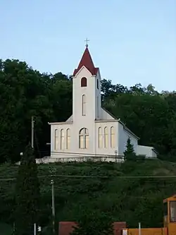
Nemčiňany
Nemčiňany
Nemcsény | |
|---|---|
 | |
 Flag | |
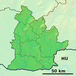 Nemčiňany Location of Nemčiňany in the Nitra Region 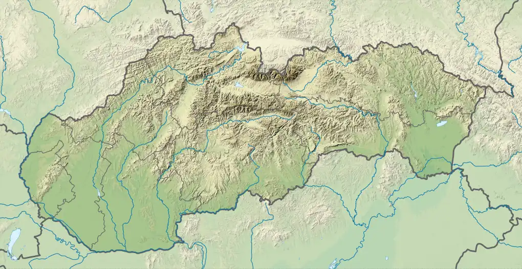 Nemčiňany Location of Nemčiňany in Slovakia | |
| Coordinates: 48°19′N 18°27′E / 48.31°N 18.45°E | |
| Country | |
| Region | |
| District | Zlaté Moravce District |
| First mentioned | 1258 |
| Area | |
• Total | 15.68 km2 (6.05 sq mi) |
| Elevation | 192 m (630 ft) |
| Population (2021)[3] | |
• Total | 657 |
| Time zone | UTC+1 (CET) |
| • Summer (DST) | UTC+2 (CEST) |
| Postal code | 951 81[2] |
| Area code | +421 37[2] |
| Car plate | ZM |
| Website | www |
Nemčiňany (Hungarian: Nemcsény) is a village and municipality in Zlaté Moravce District of the Nitra Region, in western-central Slovakia.
History
In historical records the village was first mentioned in 1232.
Geography
The municipality lies at an altitude of 212 metres and covers an area of 15.683 km². It has a population of about 750 people.
Pictures


References
- ^ "Hustota obyvateľstva - obce [om7014rr_ukaz: Rozloha (Štvorcový meter)]". www.statistics.sk (in Slovak). Statistical Office of the Slovak Republic. 2022-03-31. Retrieved 2022-03-31.
- ^ a b c "Základná charakteristika". www.statistics.sk (in Slovak). Statistical Office of the Slovak Republic. 2015-04-17. Retrieved 2022-03-31.
- ^ "Počet obyvateľov podľa pohlavia - obce (ročne)". www.statistics.sk (in Slovak). Statistical Office of the Slovak Republic. 2022-03-31. Retrieved 2022-03-31.