National Highway 11A (India, old numbering)
 | ||||
|---|---|---|---|---|
| Route information | ||||
| Length | 145 km (90 mi) | |||
| Major junctions | ||||
| North end | Manoharpur | |||
| South end | Kothum | |||
| Location | ||||
| Country | India | |||
| States | Rajasthan: 145 km (90 mi) | |||
| Primary destinations | Dausa - Lalsot | |||
| Highway system | ||||
| ||||
National Highway 11A (NH 11A) was an Indian National Highway entirely within the state of Rajasthan, that connected Manoharpur with Kothum and was 145 km (90 mi) long. [1] Under new renumbering rules the section between Manoharpur and Lalsot was named NH 148, while the section between Lalsot and Kothum became part of NH 23.
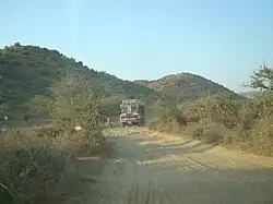
Route
References
- ^ "Archived copy". Archived from the original on 10 April 2009. Retrieved 20 July 2011.
{{cite web}}: CS1 maint: archived copy as title (link) Start and end points of National Highways
External links
- NH 11A on OpenStreetMap
- [1] NH network map of India


