Nateby, Cumbria
| Nateby | |
|---|---|
| Village and parish | |
 Nateby | |
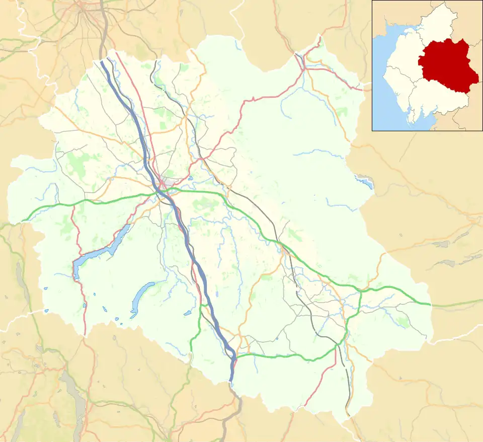 Nateby Location in the former Eden District  Nateby Location within Cumbria | |
| Population | 120 (2011)[1] |
| OS grid reference | NY774067 |
| Civil parish |
|
| Unitary authority | |
| Ceremonial county | |
| Region | |
| Country | England |
| Sovereign state | United Kingdom |
| Post town | KIRKBY STEPHEN |
| Postcode district | CA17 |
| Dialling code | 01768 |
| Police | Cumbria |
| Fire | Cumbria |
| Ambulance | North West |
| UK Parliament | |
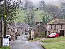
Nateby is a village and civil parish in Cumbria, England. The parish had a population of 110 in 2001,[2] increasing to 120 at the 2011 Census.[1]
The village is situated about 1.5 miles (2 km) south of Kirkby Stephen and 15 miles (24 km) north west of Hawes. Historically part of Westmorland, it lies 3 miles (5 km) from the border of North Yorkshire.[3] Since 2016 the village has been on the northern boundary of the Yorkshire Dales National Park. Nearby are the Nine Standards Rigg hills.[3] The village contains a popular country pub, The Black Bull Inn, a garage/petrol station and a small metal-yard.
See also
References
- ^ a b UK Census (2011). "Local Area Report – Nateby Parish (E04002560)". Nomis. Office for National Statistics. Retrieved 11 April 2021.
- ^ UK Census (2001). "Local Area Report – Nateby Parish (16UF051)". Nomis. Office for National Statistics. Retrieved 11 April 2021.
- ^ a b "Nateby, Cumbria". www.thecumbriadirectory.com. Retrieved 15 June 2020.
External links
- Cumbria County History Trust: Nateby (nb: provisional research only – see Talk page)
![]() Media related to Nateby, Cumbria at Wikimedia Commons
Media related to Nateby, Cumbria at Wikimedia Commons