Mykolaivka, Simferopol Raion
Mykolaivka
Миколаївка | |
|---|---|
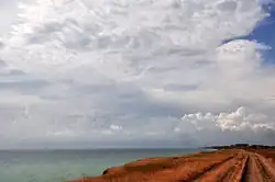 Coast line between Berehove and Mykolaivka in Crimea | |
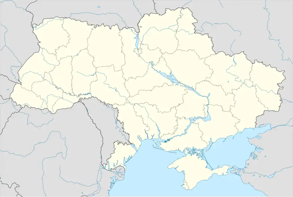 Mykolaivka Location of Mykolaivka 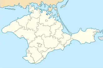 Mykolaivka Location of Mykolaivka on map of Crimea | |
| Coordinates: 44°57′43″N 33°36′46″E / 44.96194°N 33.61278°E | |
| Country | Disputed |
| Republic | Crimea |
| Raion | Simferopol Raion |
| Founded | 1858 |
| Population (2014) | |
• Total | 2,817 |
| Time zone | UTC+4 (MSK) |
| Postcode | 97546 |
| Area code | +380 652 |
Mykolaivka (Crimean Tatar: Nikolayevka; Russian: Николаевка; Ukrainian: Миколаївка) is an urban-type settlement (a town) in Simferopol Raion of the Autonomous Republic of Crimea, a territory recognized by a majority of countries as part of Ukraine and incorporated by Russia as the Republic of Crimea. Population: 2,817 (2014 Census).[1]
It is located on shore of Black Sea 40 km from Simferopol. Mykolaivka is considered as a "Simferopol's Beach;" being the closest sea shore it attracts many week-enders from the city.
References
- ^ Russian Federal State Statistics Service (2014). "Таблица 1.3. Численность населения Крымского федерального округа, городских округов, муниципальных районов, городских и сельских поселений" [Table 1.3. Population of Crimean Federal District, Its Urban Okrugs, Municipal Districts, Urban and Rural Settlements]. Федеральное статистическое наблюдение «Перепись населения в Крымском федеральном округе». ("Population Census in Crimean Federal District" Federal Statistical Examination) (in Russian). Federal State Statistics Service. Retrieved January 4, 2016.