Mule Town, Ohio
Mule Town, Ohio | |
|---|---|
Village | |
| Nickname: M-Town | |
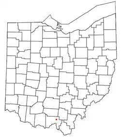 Location of Mule Town, Ohio | |
| Coordinates: 38°52′00″N 82°51′48″W / 38.86667°N 82.86333°W | |
| Country | United States |
| State | Ohio |
| County | Scioto |
| Government | |
| • Type | Part of a civil township |
| Elevation | 653 ft (199 m) |
| Time zone | UTC-5 (Eastern (EST)) |
| • Summer (DST) | UTC-4 (EDT) |
| ZIP codes | 45653 |
| Area code | 740 |
| GNIS feature ID | 1077273[1] |
Mule Town or Purdy Corners[1] is an unincorporated community in southwestern Madison Township, Scioto County, Ohio, United States. Located at the intersection of State Route 335, Lucasville-Minford Road and Bennett Road, it lies just north of the unincorporated community of Minford, 7 miles (11½ km) east of the census-designated place of Lucasville, and 14 miles (23 km) northeast of the city of Portsmouth, the county seat of Scioto County. Sweet Run, a tributary of the Rocky Fork of the Little Scioto River, flows past the community.[2]
References
Municipalities and communities of Scioto County, Ohio, United States | ||
|---|---|---|
| City | 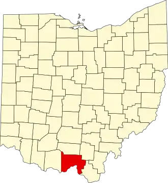 | |
| Villages | ||
| Townships | ||
| CDPs | ||
| Unincorporated communities | ||
| Footnotes | ‡This populated place also has portions in an adjacent county or counties | |