Mud River Covered Bridge
Mud River Covered Bridge | |
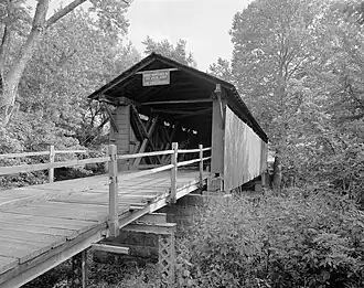 Mud River Covered Bridge, August 1975 | |
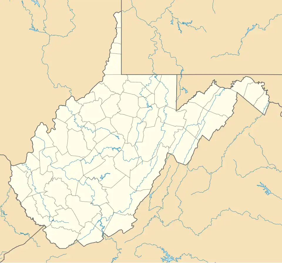  | |
| Location | Off U.S. 60 on SR 25 over Mud River, Milton, West Virginia |
|---|---|
| Coordinates | 38°25′40″N 82°8′4″W / 38.42778°N 82.13444°W |
| Area | 0.5 acres (0.20 ha) |
| Built | 1875 |
| Architectural style | Modified Howe truss |
| MPS | West Virginia Covered Bridges TR |
| NRHP reference No. | 75001883[1] |
| Added to NRHP | June 10, 1975 |
Mud River Covered Bridge is a historic covered bridge that formerly spanned the Mud River at Milton, Cabell County, West Virginia. It was built about 1875, and is a single-span, modified Howe truss structure. It measures approximately 112 feet (34 m) in length and 14 feet (4.3 m) in width.
The bridge was restored in 1971[2] and listed on the National Register of Historic Places in 1975.[1] It was relocated twice, first in 1997 to a temporary site near its original location, and then again in 2001 to a new location crossing a pond at the Cabell County Fairgrounds.[3]
See also
- List of covered bridges in West Virginia
- List of bridges documented by the Historic American Engineering Record in West Virginia
- National Register of Historic Places listings in Cabell County, West Virginia
References
- ^ a b "National Register Information System". National Register of Historic Places. National Park Service. July 9, 2010.
- ^ James E. Harding (March 1975). "National Register of Historic Places Inventory Nomination Form: Mud River Covered Bridge" (PDF). State of West Virginia, West Virginia Division of Culture and History, Historic Preservation. Retrieved July 23, 2011.
- ^ West Virginia Department of Transportation. "Milton". Retrieved January 10, 2015.
External links
![]() Media related to Mud River Covered Bridge at Wikimedia Commons
Media related to Mud River Covered Bridge at Wikimedia Commons
- Historic American Engineering Record (HAER) No. WV-32, "Milton Covered Bridge, County Route 25, U.S. Route 60 vicinity, Milton, Cabell County, WV", 4 photos, 3 data pages, 1 photo caption page
| Topics | ||
|---|---|---|
| Lists by county |
| |
| Other lists | ||
| ||