Mount Inabnit
| Mount Inabnit | |
|---|---|
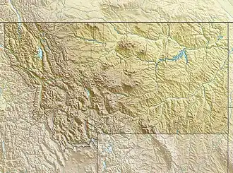 Mount Inabnit Location in Montana  Mount Inabnit Location in the United States | |
| Highest point | |
| Elevation | 11,931 ft (3,637 m)[1] |
| Prominence | 486 ft (148 m)[1] |
| Coordinates | 45°07′47″N 109°37′54″W / 45.12972°N 109.63167°W[2] |
| Geography | |
| Location | Carbon County, Montana, U.S. |
| Parent range | Beartooth Mountains |
| Topo map | USGS Alpine |
Mount Inabnit (11,931 feet (3,637 m)) is in the Beartooth Mountains in the U.S. state of Montana.[3] The peak is in the Absaroka-Beartooth Wilderness in Custer National Forest.
References
- ^ a b "Mount Inabnit, Montana". Peakbagger.com. Retrieved October 31, 2016.
- ^ "Mount Inabnit". Geographic Names Information System. United States Geological Survey, United States Department of the Interior. Retrieved October 31, 2016.
- ^ Alpine, MT (Map). TopoQwest (United States Geological Survey Maps). Retrieved October 31, 2016.