Mount Aeneas
| Mount Aeneas | |
|---|---|
.jpg) West aspect | |
| Highest point | |
| Elevation | 7,510 ft (2,290 m)[1] |
| Prominence | 1,608 ft (490 m)[2] |
| Parent peak | Big Hawk Mountain (7,542 ft)[3] |
| Isolation | 4.93 mi (7.93 km)[3] |
| Coordinates | 48°08′54″N 113°55′10″W / 48.1482186°N 113.9195614°W[1] |
| Geography | |
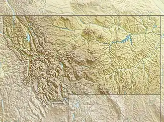 Mount Aeneas Location in Montana  Mount Aeneas Mount Aeneas (the United States) | |
| Location | Flathead County, Montana, U.S. |
| Parent range | Rocky Mountains Swan Range |
| Topo map | USGS Jewel Basin |
Mount Aeneas is a summit in the U.S. state of Montana.[1] The elevation is 7,510 feet (2,290 m).[1] It is situated 23 miles east of Kalispell in the Jewel Basin area of Flathead National Forest.
Mount Aeneas was named after a Flathead chieftain.[4]
Climate
Based on the Köppen climate classification, the peak is located in a subarctic climate zone characterized by long, usually very cold winters, and mild summers.[5] Winter temperatures can drop below −10 °F with wind chill factors below −30 °F.
See also
.jpg)
References
- ^ a b c d U.S. Geological Survey Geographic Names Information System: Mount Aeneas
- ^ "Mount Aeneas, Montana". Peakbagger.com. Retrieved October 2, 2022.
- ^ a b "Aeneas, Mount - 7,528' MT". listsofjohn.com. Retrieved October 2, 2022.
- ^ "Geographic names". Forest History Society. Archived from the original on June 18, 2019. Retrieved July 3, 2019.
- ^ Peel, M. C.; Finlayson, B. L.; McMahon, T. A. (2007). "Updated world map of the Köppen−Geiger climate classification". Hydrol. Earth Syst. Sci. 11: 1633–1644. ISSN 1027-5606.
External links
- Weather forecast: Mount Aeneas