Motilal Colony
Motilal Colony | |
|---|---|
Neighbourhood | |
 No. 2 Motilal Neheru Market | |
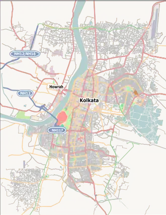 Motilal Colony Location in Kolkata 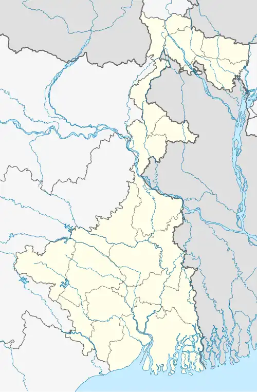 Motilal Colony Motilal Colony (West Bengal)  Motilal Colony Motilal Colony (India) | |
| Coordinates: 22°38′43″N 88°25′49″E / 22.6454°N 88.4302°E | |
| Country | |
| State | West Bengal |
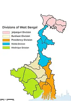
| Division | Presidency |
| District | North 24 Parganas |
| Metro Station |
|
| Government | |
| • Type | Municipality |
| • Body | Dum Dum Municipality |
| Languages | |
| • Official | Bengali, English |
| Time zone | UTC+5:30 (IST) |
| PIN | 700081 |
| Telephone code | +91 33 |
| Vehicle registration | WB |
| Lok Sabha constituency | Dum Dum |
| Vidhan Sabha constituency | Dum Dum |
Motilal Colony is a locality in Dum Dum of the North 24 Parganas district in the Indian state of West Bengal. It is a part of the area covered by Kolkata Metropolitan Development Authority (KMDA).[1][2]
Geography
Post office
Rajbari Colony has a delivery sub post office, with PIN 700081 in the Kolkata North Division of Kolkata district in Calcutta region.[3]
Police station
Dum Dum police station under Barrackpore Police Commissionerate has jurisdiction over Motilal Colony areas.[4]
Markets
Markets in or near Motilal Colony area are:
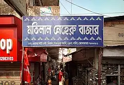
- Motilal Neheru Market
- 1 no. Airport Market
References
- ^ "Kolkata Metropolitan Development Authority". KMDA. Retrieved 28 January 2025.
- ^ "Kolkata Metropolitan Area Map". KMDA. Retrieved 28 January 2025.
- ^ "Rajbari Colony sub post office". Retrieved 22 February 2025.
- ^ "Barrackpore Police Commissionerate". barrackporecitypolice.in. Retrieved 22 February 2025.
External links
 Kolkata/Dum Dum travel guide from Wikivoyage
- Dum Dum Municipality website
North 24 Parganas district topics | |||||||||
|---|---|---|---|---|---|---|---|---|---|
| General |
| ||||||||
| Subdivisions | |||||||||
| Municipalities | |||||||||
| Community development blocks |
| ||||||||
| Rivers | |||||||||
| Transport |
| ||||||||
| Railway stations | |||||||||
| Institutes of higher learning | .jpg) | ||||||||
| Lok Sabha constituencies | |||||||||
| Vidhan Sabha constituencies |
| ||||||||
| Former Vidhan Sabha constituencies | |||||||||
| See also |
| ||||||||
| Kolkata Municipal Corporation |
|
|---|---|
| Kolkata Urban Agglomeration Outside KMC |
|
| |