Monte Scorluzzo
| Monte Scorluzzo | |
|---|---|
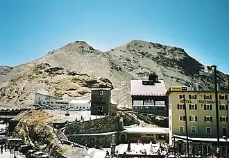 Monte Scorluzzo from Stelvio Pass | |
| Highest point | |
| Elevation | 3,094 m (10,151 ft) |
| Prominence | 187 m (614 ft) ↓ Passo di Platigliole |
| Parent peak | Cima del Chiodo |
| Isolation | 1.75km |
| Coordinates | 46°31′19″N 10°26′33″E / 46.52194°N 10.44250°E |
| Geography | |
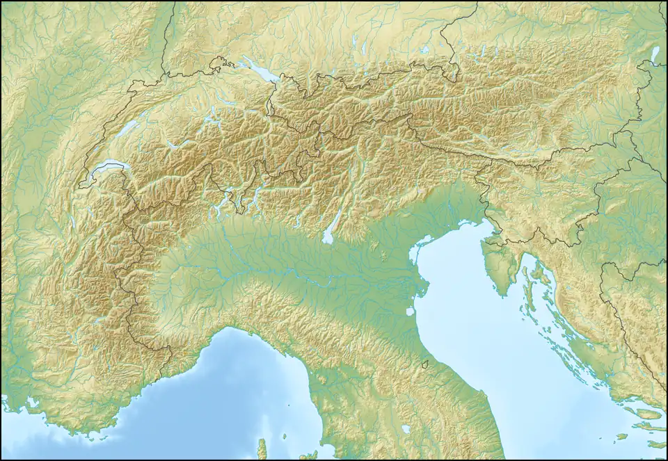 Monte Scorluzzo Location in the Alps 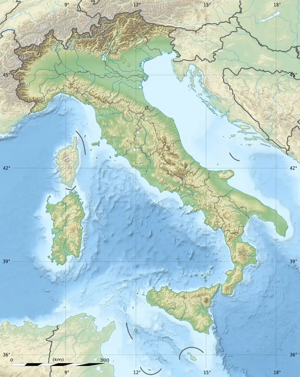 Monte Scorluzzo Monte Scorluzzo (Italy) | |
| Location | Lombardy, Italy |
| Parent range | Ortler Alps |
| Climbing | |
| Easiest route | from Stelvio Pass |
Monte Scorluzzo is a summit of the Ortler Alps, located in Lombardy, Italy close to the border to Trentino-Alto Adige and Grisons, Switzerland. It lies within Stelvio National Park,[1] and is known as an "easy three-thousander" as its summit can be reached within a 1.5 hour hike from Stelvio Pass.
The mountain was occupied by Austria-Hungary during the White War, and today the remains of the military positions can still be seen.[1]
References
- ^ a b Suliman, Adela (13 November 2021). "Historians found a WWI bunker 'frozen in time' in the Alps. Climate change makes it a bittersweet discovery". Washington Post.
External links
 Media related to Monte Scorluzzo at Wikimedia Commons
- Pictures from World War I between 1915 and 1918 at Monte Scorluzzo (in German)
- Hiking route to Monte Scorluzzo (in German)