Montague, North Carolina
Montague | |
|---|---|
 Montague | |
| Coordinates: 34°26′N 78°04′W / 34.43°N 78.06°W | |
| Country | |
| State | North Carolina |
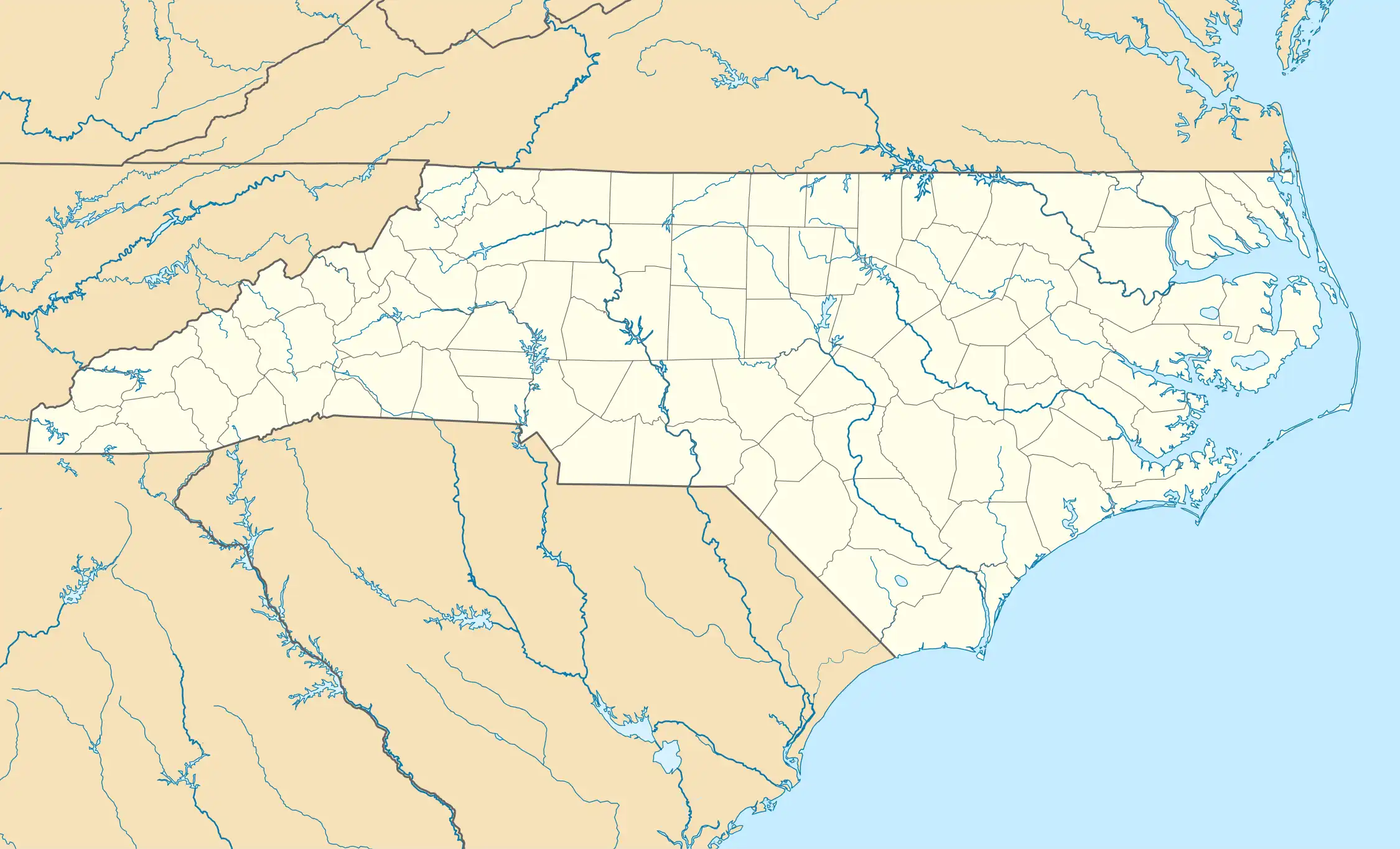
| County | Pender |
| Time zone | UTC-5 (EST) |
| • Summer (DST) | UTC-4 (EDT) |
| Area codes | 910, 472 |
Montague is an unincorporated community in Pender County, North Carolina, United States.[1][2][3][4]
Geography
Montague is located in southwestern Pender County, southeast of Currie.
The ZIP Code for Montague is 28435.[5]
References
- ^ "Montague, N.C." Google Maps. Retrieved February 8, 2025.
- ^ "Montague Populated Place Profile / Pender County, North Carolina Data". northcarolina.hometownlocator.com. Retrieved February 8, 2025.
- ^ "Convenience Center and Transfer Station Locations, Pender County, N.C." pendercountync.gov. Retrieved February 8, 2025.
- ^ "Montague, Pender County, N.C. Topography Map". www.topozone.com. Retrieved February 8, 2025.
- ^ "ZIP Code 28435". www.unitedstateszipcodes.org. Archived from the original on July 12, 2014. Retrieved February 8, 2025.
34°26′02″N 78°03′58″W / 34.43389°N 78.06611°W
Municipalities and communities of Pender County, North Carolina, United States | ||
|---|---|---|
| Towns | 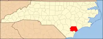 | |
| Village | ||
| CDPs | ||
| Other communities | ||
| Footnotes | ‡This populated place also has portions in an adjacent county or counties | |