Mohammadabad, Torbat-e Jam
Mohammadabad
Persian: محمداباد | |
|---|---|
Village | |
 Mohammadabad | |
| Coordinates: 35°08′59″N 60°57′27″E / 35.14972°N 60.95750°E[1] | |
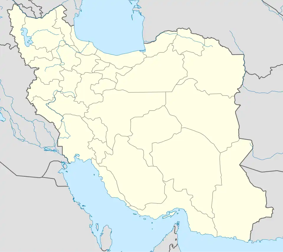
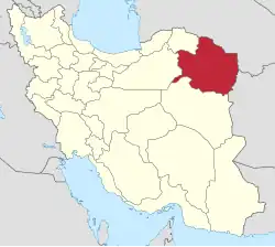
| Country | Iran |
| Province | Razavi Khorasan |
| County | Torbat-e Jam |
| District | Pain Jam |
| Rural District | Zam |
| Population (2016)[2] | |
• Total | 2,091 |
| Time zone | UTC+3:30 (IRST) |
Mohammadabad (Persian: محمداباد)[a] is a village in Zam Rural District of Pain Jam District, Torbat-e Jam County, Razavi Khorasan province, Iran.
Demographics
Population
At the time of the 2006 National Census, the village's population was 1,684 in 345 households.[4] The following census in 2011 counted 2,037 people in 459 households.[5] The 2016 census measured the population of the village as 2,091 people in 508 households. It was the most populous village in its rural district.[2]
See also
Notes
References
- ^ OpenStreetMap contributors (6 November 2024). "Mohammadabad, Torbat-e Jam County" (Map). OpenStreetMap (in Persian). Retrieved 6 November 2024.
- ^ a b Census of the Islamic Republic of Iran, 1395 (2016): Razavi Khorasan Province. amar.org.ir (Report) (in Persian). The Statistical Center of Iran. Archived from the original (Excel) on 2 April 2022. Retrieved 19 December 2022.
- ^ Mohammadabad can be found at GEOnet Names Server, at this link, by opening the Advanced Search box, entering "-3075428" in the "Unique Feature Id" form, and clicking on "Search Database".
- ^ Census of the Islamic Republic of Iran, 1385 (2006): Razavi Khorasan Province. amar.org.ir (Report) (in Persian). The Statistical Center of Iran. Archived from the original (Excel) on 20 September 2011. Retrieved 25 September 2022.
- ^ Census of the Islamic Republic of Iran, 1390 (2011): Razavi Khorasan Province. irandataportal.syr.edu (Report) (in Persian). The Statistical Center of Iran. Archived from the original (Excel) on 20 January 2023. Retrieved 19 December 2022 – via Iran Data Portal, Syracuse University.
| Capital | |||||||||||||||||||||||||||||||||||||||||||
|---|---|---|---|---|---|---|---|---|---|---|---|---|---|---|---|---|---|---|---|---|---|---|---|---|---|---|---|---|---|---|---|---|---|---|---|---|---|---|---|---|---|---|---|
| Districts |
| ||||||||||||||||||||||||||||||||||||||||||