Mazocruz
Mazocruz | |
|---|---|
 | |
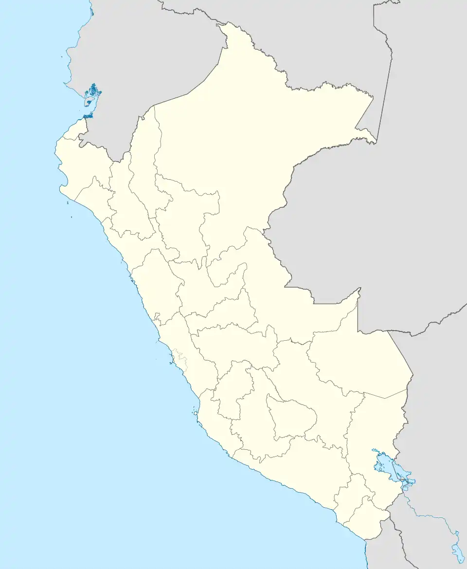 Mazocruz Location of Mazocruz in Peru | |
| Coordinates: 16°44′33″S 69°42′58″W / 16.74250°S 69.71611°W | |
| Country | |
| Region | Puno |
| Province | El Collao |
| District | Santa Rosa District |
| Population (2017)[1] | |
• Total | 1,070 |
Mazocruz, also spelled Mazo Cruz, is a town and the capital of the Santa Rosa District in the El Collao Province, department of Puno, in the Peruvian Altiplano.
Climate
| Climate data for Mazo Cruz, elevation 3,980 m (13,060 ft), (1991–2020) | |||||||||||||
|---|---|---|---|---|---|---|---|---|---|---|---|---|---|
| Month | Jan | Feb | Mar | Apr | May | Jun | Jul | Aug | Sep | Oct | Nov | Dec | Year |
| Mean daily maximum °C (°F) | 16.0 (60.8) |
15.7 (60.3) |
16.0 (60.8) |
16.4 (61.5) |
16.2 (61.2) |
15.4 (59.7) |
15.1 (59.2) |
16.1 (61.0) |
17.2 (63.0) |
18.3 (64.9) |
19.0 (66.2) |
18.0 (64.4) |
16.6 (61.9) |
| Daily mean °C (°F) | 8.4 (47.1) |
8.3 (46.9) |
7.9 (46.2) |
6.2 (43.2) |
3.1 (37.6) |
1.2 (34.2) |
1.0 (33.8) |
2.1 (35.8) |
3.9 (39.0) |
5.6 (42.1) |
6.8 (44.2) |
8.2 (46.8) |
5.2 (41.4) |
| Mean daily minimum °C (°F) | 0.9 (33.6) |
0.9 (33.6) |
−0.2 (31.6) |
−3.9 (25.0) |
−10.0 (14.0) |
−13.0 (8.6) |
−13.1 (8.4) |
−11.9 (10.6) |
−9.4 (15.1) |
−7.0 (19.4) |
−5.3 (22.5) |
−1.6 (29.1) |
−6.1 (21.0) |
| Average precipitation mm (inches) | 141.3 (5.56) |
120.1 (4.73) |
69.6 (2.74) |
24.8 (0.98) |
5.0 (0.20) |
2.0 (0.08) |
3.6 (0.14) |
7.6 (0.30) |
8.5 (0.33) |
18.0 (0.71) |
25.5 (1.00) |
75.4 (2.97) |
501.4 (19.74) |
| Source: National Meteorology and Hydrology Service of Peru[2] | |||||||||||||
References
- ^ "Mazo Cruz (El Collao, Puno Region, Peru)". citypopulation.de. Retrieved 2 February 2021.
- ^ "Normales Climáticas Estándares y Medias 1991-2020". National Meteorology and Hydrology Service of Peru. Archived from the original on 21 August 2023. Retrieved 25 October 2023.