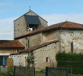
Mazières
Mazières | |
|---|---|
Part of Terres-de-Haute-Charente | |
 | |
Location of Mazières | |
 Mazières  Mazières | |
| Coordinates: 45°50′13″N 0°34′17″E / 45.8369°N 0.5714°E | |
| Country | France |
| Region | Nouvelle-Aquitaine |
| Department | Charente |
| Arrondissement | Confolens |
| Canton | Charente-Bonnieure |
| Commune | Terres-de-Haute-Charente |
Area 1 | 5.87 km2 (2.27 sq mi) |
| Population (2022)[1] | 90 |
| • Density | 15/km2 (40/sq mi) |
| Time zone | UTC+01:00 (CET) |
| • Summer (DST) | UTC+02:00 (CEST) |
| Postal code | 16270 |
| Elevation | 145–236 m (476–774 ft) (avg. 200 m or 660 ft) |
| 1 French Land Register data, which excludes lakes, ponds, glaciers > 1 km2 (0.386 sq mi or 247 acres) and river estuaries. | |
Mazières (French pronunciation: [mazjɛʁ]) is a former commune in the Charente department in southwestern France. On 1 January 2019, it was merged into the new commune Terres-de-Haute-Charente.[2]
Population
|
|
See also
References
- ^ "Populations de référence 2022" [Reference populations 2022] (PDF) (in French). INSEE. December 2024.
- ^ Arrêté préfectoral 28 September 2018, p. 19 (in French)
Wikimedia Commons has media related to Mazières.