Maverick, Arizona
Maverick, Arizona | |
|---|---|
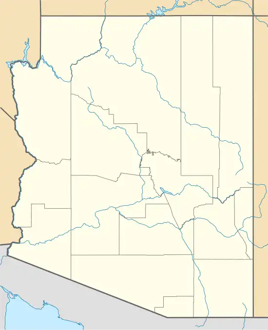 Maverick Location within the state of Arizona  Maverick Maverick (the United States) | |
| Coordinates: 33°44′34″N 109°32′50″W / 33.74278°N 109.54722°W | |
| Country | United States |
| State | Arizona |
| County | Apache |
| Elevation | 7,805 ft (2,379 m) |
| Time zone | UTC-7 (Mountain (MST)) |
| • Summer (DST) | UTC-7 (MST) |
| Area code | 928 |
| FIPS code | 04-45110 |
| GNIS feature ID | 24510 |
Maverick is a populated place situated in Apache County, Arizona, United States.[2] It has an estimated elevation of 7,805 feet (2,379 m) above sea level.[1]
A former logging camp, Maverick was the former southern end of the Apache Railway.
Climate
Maverick has a borderline subarctic and warm-summer Mediterranean climate because while the overnight lows can be very cold, averaging in the single digits in winter months, the daytime temperatures are much warmer.
| Climate data for Maverick, Arizona, 1991–2020 normals, extremes 1901–present | |||||||||||||
|---|---|---|---|---|---|---|---|---|---|---|---|---|---|
| Month | Jan | Feb | Mar | Apr | May | Jun | Jul | Aug | Sep | Oct | Nov | Dec | Year |
| Record high °F (°C) | 70 (21) |
72 (22) |
76 (24) |
80 (27) |
86 (30) |
95 (35) |
92 (33) |
91 (33) |
90 (32) |
84 (29) |
73 (23) |
69 (21) |
95 (35) |
| Mean maximum °F (°C) | 60 (16) |
61 (16) |
65 (18) |
71 (22) |
79 (26) |
86 (30) |
88 (31) |
83 (28) |
81 (27) |
76 (24) |
68 (20) |
62 (17) |
89 (32) |
| Mean daily maximum °F (°C) | 45.8 (7.7) |
47.5 (8.6) |
50.5 (10.3) |
59.1 (15.1) |
67.2 (19.6) |
76.3 (24.6) |
77.1 (25.1) |
75.0 (23.9) |
72.9 (22.7) |
65.0 (18.3) |
55.1 (12.8) |
48.5 (9.2) |
61.7 (16.5) |
| Daily mean °F (°C) | 26.2 (−3.2) |
28.1 (−2.2) |
32.3 (0.2) |
39.5 (4.2) |
45.8 (7.7) |
54.2 (12.3) |
60.1 (15.6) |
58.7 (14.8) |
53.8 (12.1) |
45.1 (7.3) |
35.4 (1.9) |
28.9 (−1.7) |
42.3 (5.8) |
| Mean daily minimum °F (°C) | 6.7 (−14.1) |
8.2 (−13.2) |
14.2 (−9.9) |
19.9 (−6.7) |
24.5 (−4.2) |
32.1 (0.1) |
43.0 (6.1) |
42.2 (5.7) |
34.6 (1.4) |
25.1 (−3.8) |
15.8 (−9.0) |
9.4 (−12.6) |
23.0 (−5.0) |
| Mean minimum °F (°C) | −17 (−27) |
−14 (−26) |
−6 (−21) |
7 (−14) |
15 (−9) |
22 (−6) |
35 (2) |
34 (1) |
25 (−4) |
15 (−9) |
−1 (−18) |
−11 (−24) |
−22 (−30) |
| Record low °F (°C) | −40 (−40) |
−33 (−36) |
−27 (−33) |
−9 (−23) |
4 (−16) |
12 (−11) |
23 (−5) |
25 (−4) |
16 (−9) |
3 (−16) |
−15 (−26) |
−30 (−34) |
−40 (−40) |
| Average precipitation inches (mm) | 2.89 (73) |
1.84 (47) |
2.34 (59) |
1.15 (29) |
0.43 (11) |
0.98 (25) |
4.92 (125) |
4.93 (125) |
2.17 (55) |
2.04 (52) |
1.47 (37) |
2.70 (69) |
27.86 (707) |
| Average snowfall inches (cm) | 24.8 (63) |
17.9 (45) |
17.4 (44) |
6.3 (16) |
1.1 (2.8) |
0.0 (0.0) |
0.0 (0.0) |
0.0 (0.0) |
0.0 (0.0) |
1.8 (4.6) |
7.4 (19) |
21.2 (54) |
97.9 (248.4) |
| Source: WRCC[3] | |||||||||||||
References
- ^ a b "Feature Detail Report for: Maverick". Geographic Names Information System. United States Geological Survey, United States Department of the Interior.
- ^ "Maverick (in Apache County, AZ) Populated Place Profile". AZ Hometown Locator. Retrieved December 22, 2016.
- ^ "Maverick, AZ Climate". WRCC. Retrieved March 26, 2023.
External links
- Maverick – ghosttowns.com
Municipalities and communities of Apache County, Arizona, United States | ||
|---|---|---|
| City | 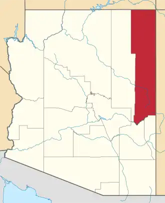 | |
| Towns | ||
| CDPs |
| |
| Populated places | ||
| Indian reservations | ||
| Ghost towns | ||
| Footnotes | ‡This populated place also has portions in an adjacent county or counties | |