Matsieng, Free State
Matsieng | |
|---|---|
 Matsieng 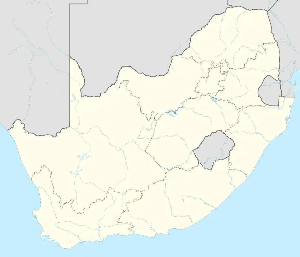 Matsieng | |
| Coordinates: 28°35′28″S 28°48′32″E / 28.591°S 28.809°E | |
| Country | South Africa |
| Province | Free State |
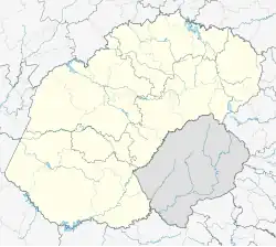
| District | Thabo Mofutsanyane |
| Municipality | Maluti-a-Phofung |
| Area | |
• Total | 1.71 km2 (0.66 sq mi) |
| Population (2011)[1] | |
• Total | 1,680 |
| • Density | 980/km2 (2,500/sq mi) |
| Racial makeup (2011) | |
| • Black African | 99.5% |
| • Coloured | 0.3% |
| • White | 0.1% |
| • Other | 0.1% |
| First languages (2011) | |
| • Sotho | 90.0% |
| • Zulu | 5.2% |
| • Sign language | 2.4% |
| • Other | 2.4% |
| Time zone | UTC+2 (SAST) |
Matsieng is a rural village of Maluti-a-Phofung Local Municipality, Thabo Mofutsanyana District Municipality in the Free State province of South Africa.
References
- ^ a b c d "Main Place Matsieng". Census 2011.
Municipalities and communities of Thabo Mofutsanyana District Municipality, Free State | ||
|---|---|---|
District seat: Witsieshoek (Phuthaditjhaba) | ||
| Setsoto | .svg.png) | |
| Dihlabeng | ||
| Nketoana | ||
| Maluti-a-Phofung |
| |
| Phumelela | ||
| Mantsopa | ||