Manning, Upper Austria
Manning | |
|---|---|
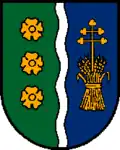 Coat of arms | |
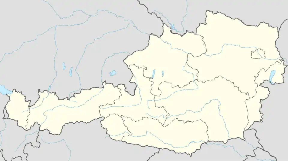 Manning Location within Austria | |
| Coordinates: 48°05′13″N 13°40′02″E / 48.08694°N 13.66722°E | |
| Country | Austria |
| State | Upper Austria |
| District | Vöcklabruck |
| Government | |
| • Mayor | Gerhard Gründlinger (ÖVP) |
| Area | |
• Total | 10.01 km2 (3.86 sq mi) |
| Elevation | 510 m (1,670 ft) |
| Population (2018-01-01)[2] | |
• Total | 795 |
| • Density | 79/km2 (210/sq mi) |
| Time zone | UTC+1 (CET) |
| • Summer (DST) | UTC+2 (CEST) |
| Postal code | 4901 |
| Area code | 0 76 76 |
| Vehicle registration | VB |
Manning is a town in the Austrian state of Upper Austria.
Population
| Year | Pop. | ±% |
|---|---|---|
| 1991 | 763 | — |
| 2001 | 829 | +8.7% |
| 2016 | 821 | −1.0% |
References
- ^ "Dauersiedlungsraum der Gemeinden Politischen Bezirke und Bundesländer - Gebietsstand 1.1.2018". Statistics Austria. Retrieved 10 March 2019.
- ^ "Einwohnerzahl 1.1.2018 nach Gemeinden mit Status, Gebietsstand 1.1.2018". Statistics Austria. Retrieved 9 March 2019.
External links