Manhton
Manhton | |
|---|---|
Village | |
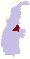
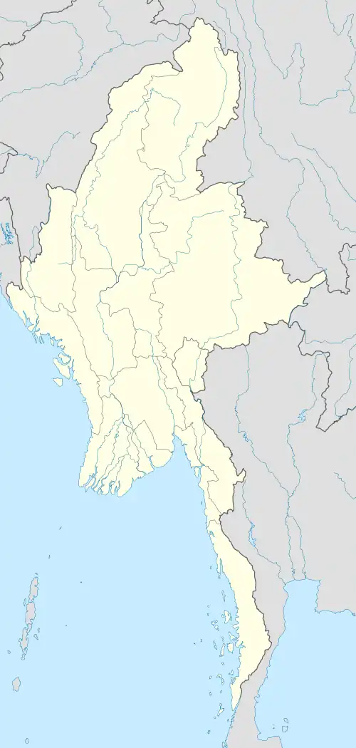 Manhton Location in Burma | |
| Coordinates: 24°34′N 95°58′E / 24.567°N 95.967°E | |
| Country | |
| Region | Sagaing Region |
| District | Katha District |
| Township | Banmauk Township |
| Time zone | UTC+6.30 (MST) |
Manhton is a village in Banmauk Township, Katha District, in the Sagaing Region of northern-central Burma.[1][2]
References
- ^ Google Maps (Map). Google.
- ^ Bing Maps (Map). Microsoft and Harris Corporation Earthstar Geographics LLC.