Maneadero
Maneadero
Maneadero | |
|---|---|
Town | |
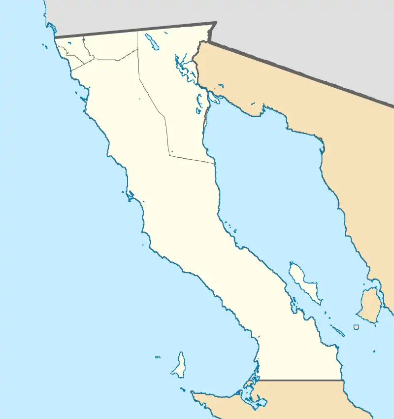 Maneadero Location of Maneadero in Mexico 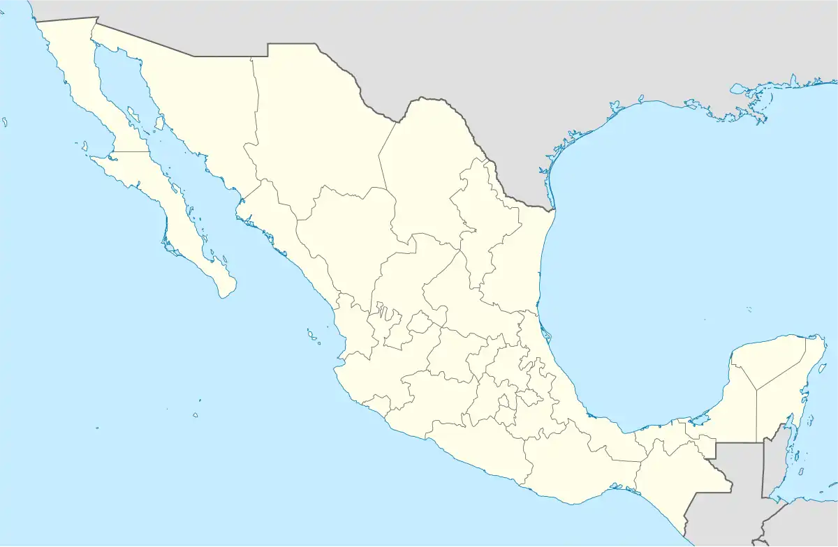 Maneadero Maneadero (Mexico) | |
| Coordinates: 31°47′45″N 116°35′28″W / 31.79583°N 116.59111°W | |
| Country | |
| State | |
| Municipality | Ensenada |
| Elevation | 10 m (30 ft) |
| Population (2020) | |
• Total | 31,006 |
| Time zone | UTC-8 (PST) |
| Calling Code | 646 |
Maneadero is a town in the Ensenada Municipality of Baja California, Mexico, located about eight kilometers south of the city of Ensenada. The town is very much agriculturally oriented, and livestock makes up a fair amount of the economy. The town was created by an agrarian reform, which granted agricultural land to the people who lived there.
References