Makkada
Makkada
Kakkodi , koodathumpoyil , chelappram , badiroor , kottoopadam , ottathengu , cherukulam | |
|---|---|
village | |
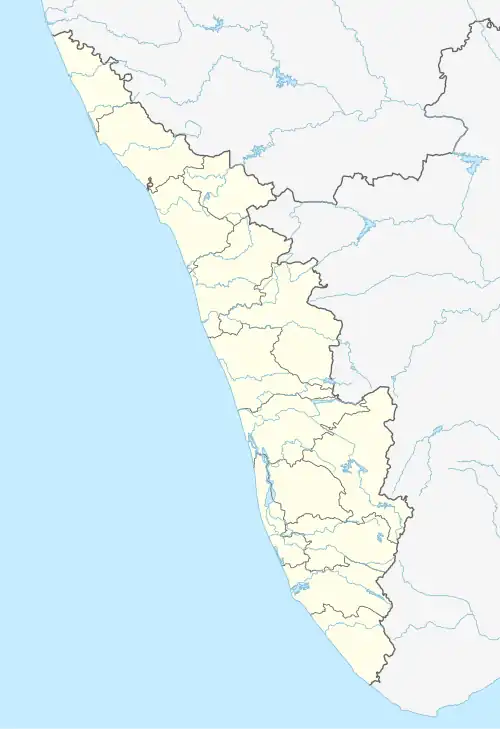 Makkada Location in Kerala, India  Makkada Makkada (India) | |
| Coordinates: 11°19′56″N 75°47′18″E / 11.33222°N 75.78833°E | |
| Country | |
| State | Kerala |
| District | Kozhikode |
| Government | |
| • Type | Panchayati Raj |
| • Body | Local self-government |
| Languages | |
| • Official | Malayalam, English |
| Time zone | UTC+5:30 (IST) |
| Vehicle registration | KL- 11 |
| Coastline | 7.8 kilometres (4.8 mi) |
| Climate | Tropical monsoon (Köppen) |
| Avg. summer temperature | 35 °C (95 °F) |
| Avg. winter temperature | 20 °C (68 °F) |
Makkada is a village in Kakkodi panchayath in Calicut district of Kerala state.[1] The postal pin code is 673611.[2]
Geographically Makkada covers about half the size of the kakkodi Panchayath and situates north of the Panchayath. Unlike many other villages in Kerala there isn't a town called Makkada in this village, but there are a couple of institutions which carry the name, the post office and an LP school.
References
- ^ "Makkada, Kozhikode District, Kerala, India". Kerala Tourism. Retrieved 27 February 2025.
- ^ "Postal Code (Zip Code) of Makkada, Kozhikode, Kerala, India". India TV News. Retrieved 27 February 2025.