Magic Mountain Resort
| Magic Mountain | |
|---|---|
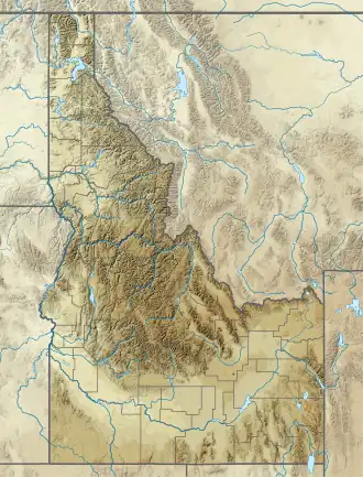 Magic Mountain Location in Idaho  Magic Mountain Magic Mountain (the United States) | |
| Location | Sawtooth National Forest Twin Falls Co., Idaho, U.S. |
| Nearest major city | Rogerson Twin Falls |
| Coordinates | 42°11′17.9″N 114°17′10.0″W / 42.188306°N 114.286111°W |
| Vertical | 700 ft (213 m) |
| Top elevation | 7,240 ft (2,207 m) |
| Base elevation | 6,540 ft (1,993 m) |
| Skiable area | 120 acres (0.49 km2) |
| Trails | 11 |
| Longest run | 1 mile (1.6 km) |
| Lift system | 1 double chair 1 poma lift 1 rope tow |
| Snowfall | 230 inches (580 cm) |
| Snowmaking | none |
| Night skiing | none |
| Website | Magic Mountain |
Magic Mountain Resort is a modest alpine ski area in south central Idaho, in a southern unit of the Sawtooth National Forest. It is east of Rogerson on the eastern edge of Twin Falls County, 18 miles (29 km) northwest of the Nevada-Utah border with Idaho.[1]
The ski area has a summit elevation of 7,240 feet (2,207 m) above sea level with a vertical drop of 700 feet (213 m). It has a double chairlift, a poma lift, and a rope tow. The 120 acres (49 ha) of skiable terrain is rated at 30% easiest, 25% more difficult, 20% most difficult, and 25% experts only. Magic Mountain also has a snow tubing hill.
The average annual snowfall is 230 inches (19 ft; 580 cm). Outside of holidays, the ski area is open four days a week, Thursday through Sunday, and does not have night skiing. The area has been operating for over 75 years.[1]
References
- ^ a b "Ski resort set for big season". Spokane Daily Chronicle. (Washington). Associated Press. November 23, 1951. p. 8.
External links
- Magic Mountain - official site
- Ski Idaho.us - official state tourism site
- Ski Map.org – trail maps – Magic Mountain