Müschede
Müschede | |
|---|---|
 | |
_COA.svg.png) Coat of arms | |
Location of Müschede | |
 Müschede 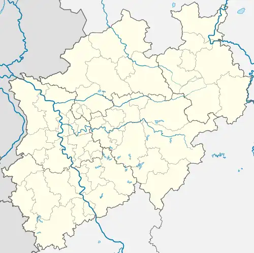 Müschede | |
| Coordinates: 51°23′N 8°5′E / 51.383°N 8.083°E | |
| Country | Germany |
| State | North Rhine-Westphalia |
| Admin. region | Arnsberg |
| District | Hochsauerland |
| Town | Arnsberg |
| Area | |
• Total | 11.41 km2 (4.41 sq mi) |
| Elevation | 221 m (725 ft) |
| Population (2014-12-31) | |
• Total | 2,767 |
| • Density | 240/km2 (630/sq mi) |
| Time zone | UTC+01:00 (CET) |
| • Summer (DST) | UTC+02:00 (CEST) |
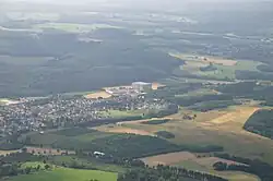
Müschede is a village in the city of Arnsberg in North Rhine-Westphalia, Germany.
Geography
Müschede is located on the eastern slope of Röhrtals, between the villages Hüsten and Hachen. Opposite the town is "der Müssenberg," a 427.5 meter tall mountain, the highest elevation in the city Arnsberg.
Between the Ruhr and the built-up area of Müschede is the site of the former military training area, which has evolved in recent years into a popular recreation area. With an area of 11.41 square kilometers, Müschede makes up about 5.6% of the total area of Arnsberg.
External links
Wikimedia Commons has media related to Müschede.
- Official website (in German)
- Schützenfest Müschede
Towns and municipalities in Hochsauerland | ||
|---|---|---|
 | ||