Mäls
Mäls | |
|---|---|
Village | |
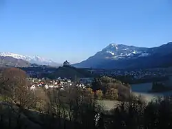 Mäls in the lower left corner | |
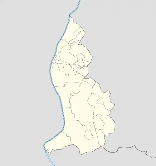 Mäls Locator map of Mäls in Liechtenstein | |
| Coordinates: 47°03′45″N 9°29′40″E / 47.06250°N 9.49444°E | |
| Country | |
| Electoral district | |
| Municipality | |
| Elevation | 472 m (1,549 ft) |
| Time zone | UTC+1 (CET) |
| • Summer (DST) | UTC+2 (CEST) |
| Postal code | 9496 |
| Area code | (+423) ... |
Mäls is a former Weiler (hamlet) of Liechtenstein, located in the municipality of Balzers.[1]
Geography
The former hamlet, contiguous with Balzers, is located next to the river Rhine and to the borders of Switzerland.[1] Gutenberg Castle is situated on a rocky hill between Balzers and Mäls.[1]
References
- ^ a b c Vogt, Gregor (2011). "Mäls". Historisches Lexikon des Fürstentums Liechtenstein (in German). Retrieved 17 December 2024.
External links
![]() Media related to Mäls at Wikimedia Commons
Media related to Mäls at Wikimedia Commons
Villages of Liechtenstein (hamlets of the 11 municipalities) | |||
|---|---|---|---|