Lower Mill, Cornwall
| Lower Mill | |
|---|---|
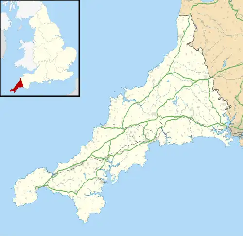 Lower Mill Location within Cornwall | |
| OS grid reference | SW901388 |
| Civil parish | |
| Unitary authority | |
| Ceremonial county | |
| Region | |
| Country | England |
| Sovereign state | United Kingdom |
| Post town | Truro |
| Postcode district | TR2 |
Lower Mill is a hamlet in the parish of Veryan, Cornwall, England, UK.[1][2] Lower Mill is approximately 5 miles (8.0 km) south-east of Truro.[3]
References
- ^ Ordnance Survey: Landranger map sheet 204 Truro & Falmouth (Roseland Peninsula) (Map). Ordnance Survey. 2009. ISBN 978-0-319-23290-3.
- ^ Lower Mill; Explore Britain
- ^ "GENUKI: How far is it from SW901388?". www.genuki.org.uk. GENUKI. Retrieved 30 January 2016.
| Unitary authorities | |
|---|---|
| Major settlements (cities in italics) |
|
| Rivers | |
| Topics | |