Lost Corner Mountain
| Lost Corner Mountain | |
|---|---|
 Lost Corner Mountain  Lost Corner Mountain | |
| Highest point | |
| Elevation | 8,265 ft (2,519 m) NAVD 88[1] |
| Prominence | 541 ft (165 m)[1] |
| Coordinates | 39°00′49″N 120°12′15″W / 39.0135184°N 120.2040784°W[2] |
| Geography | |
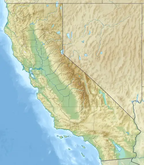
| Location | El Dorado County, California, U.S. |
| Parent range | Sierra Nevada |
| Topo map | USGS Homewood |
| Climbing | |
| Easiest route | Hike and scramble, class 1-2 |
Lost Corner Mountain is a mountain summit in the Sierra Nevada mountain range to the west of Lake Tahoe on the border of the Desolation Wilderness in El Dorado County, California.[2] The city closest to it is Meyers, California which is 4.4 miles away.
The Pacific Crest Trail skirts the mountain on its west flank.
References
- ^ a b "Lost Corner Mountain, California". Peakbagger.com. Retrieved August 7, 2009.
- ^ a b "Lost Corner Mountain". Geographic Names Information System. United States Geological Survey, United States Department of the Interior. Retrieved August 7, 2009.