Lohagad, Mawal
Lohagad | |
|---|---|
Village | |
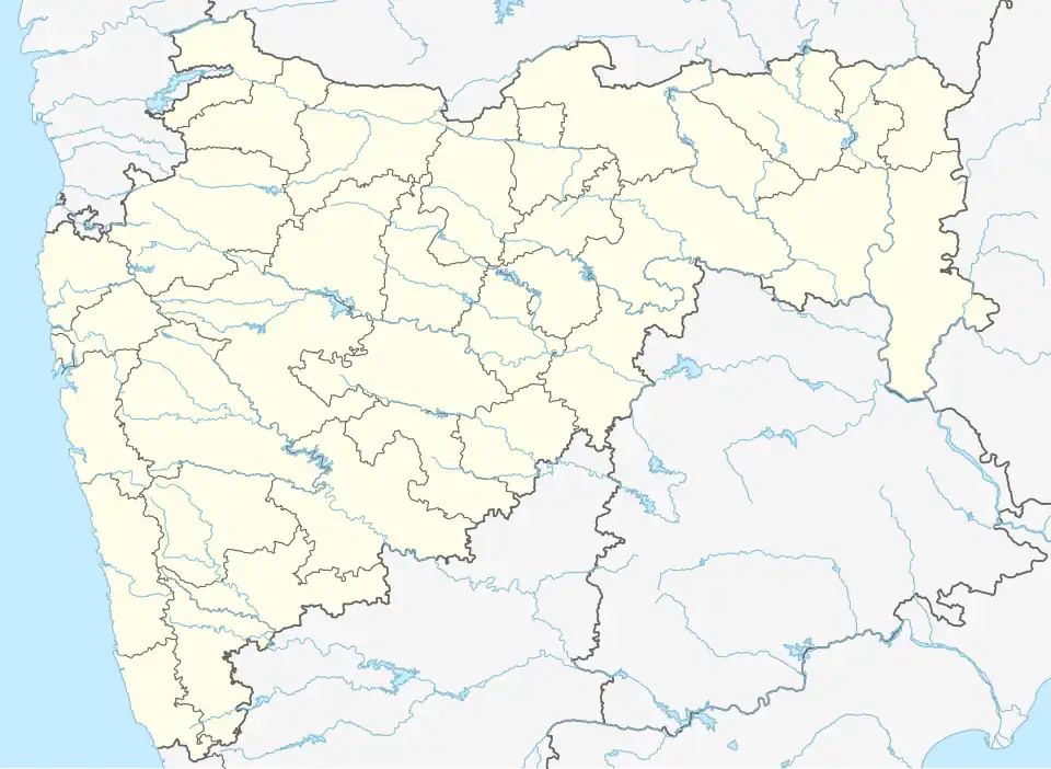 Lohagad Location in Maharashtra, India  Lohagad Lohagad (India) | |
| Coordinates: 18°42′32″N 73°28′04″E / 18.7089088°N 73.4679122°E | |
| Country | |
| State | Maharashtra |
| District | Pune |
| Tehsil | Mawal |
| Government | |
| • Type | Panchayati Raj |
| • Body | Gram panchayat |
| Area | |
• Total | 484 ha (1,196 acres) |
| Population (2011) | |
• Total | 475 |
| • Density | 98/km2 (250/sq mi) |
| Sex ratio 253/222 ♂/♀ | |
| Languages | |
| • Official | Marathi |
| • Other spoken | Hindi |
| Time zone | UTC+5:30 (IST) |
| Pin code | 410405 |
| Telephone code | 02114 |
| ISO 3166 code | IN-MH |
| Vehicle registration | MH-14 |
| Website | pune |
Lohagad is a village in India, situated in the Mawal taluka of Pune district in the state of Maharashtra. It encompasses an area of 484 ha (1,196 acres).[1]
Administration
The village is administrated by a sarpanch, an elected representative who leads a gram panchayat. In 2019, the village was itself the seat of a gram panchayat.[2]
Demographics
At the 2011 Census of India, the village comprised 85 households. The population of 475 was split between 253 males and 222 females.[1]
Air travel connectivity
The closest airport to the village is Pune Airport.
See also
References
- ^ a b "Census of India 2011: Maharashtra: District Census Handbook: Pune" (PDF). Directorate of Census Operations. p. 408. Archived from the original (PDF) on 11 March 2016. Retrieved 19 May 2019.
- ^ "Village Panchayat of MAVAL (Block Panchayat), PUNE (Zilla Parishad), MAHARASHTRA". Ministry of Panchayati Raj. Retrieved 21 May 2019.