Loch Magharaidh
| Loch Magharaidh | |
|---|---|
 Loch Magharaidh from its west shore | |
 Loch Magharaidh | |
| Location | Scottish Highlands |
| Coordinates | 57°45′24″N 4°36′12.7″W / 57.75667°N 4.603528°W |
| Primary outflows | Allt a' Mhagharaidh |
| Basin countries | Scotland, United Kingdom |
| Max. length | 742.5 m (2,436 ft) |
| Max. width | 809.44 m (2,655.6 ft) |
| Surface elevation | 564 m (1,850 ft) |
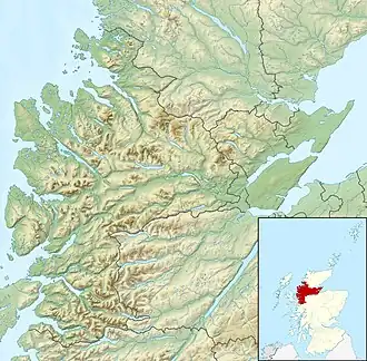
Loch Magharaidh is a remote mountain loch in Easter Ross, roughly 6.6km northwest of Ben Wyvis. It sits in a shallow corrie, flanked by Sgor a' Chaorainn to its north and Beinn nan Eun to its south. The landscape surrounding the loch is an expansive peat bog, sat on a bed of pelite.[1]
Its name is Scottish Gaelic, possibly derived from the elements magh (meaning "field") and àirigh (meaning "shieling") or gàrradh (meaning "dyke" or "enclosure").[2]
Loch Magharaidh's only outflow, which takes its name, flows into the Abhainn na Glasa (River Glasa), which in turn flows into Loch Morie, the source of the River Averon.
References
- ^ "Digimap Discovery Service". digimap.edina.ac.uk. Retrieved 20 March 2025.
- ^ midasiak (7 November 2019). "The Gaelic origins of place names in Britain". OS GetOutside. Retrieved 20 March 2025.