List of county routes in Hunterdon County, New Jersey
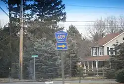
The following is a list of county routes in Hunterdon County in the U.S. state of New Jersey. For more information on the county route system in New Jersey as a whole, including its history, see County routes in New Jersey.
500-series county routes
In addition to those listed below, the following 500-series county routes serve Hunterdon County:[1]
Other county routes
| Route[2] | Length (mi)[3] |
Length (km) |
From | Via | To | Notes |
|---|---|---|---|---|---|---|
| 0.57 | 0.92 | Route 31 in Raritan Township | Wescott Drive | Sand Hill Road (CR 612) in Raritan Township | ||
| 3.65 | 5.87 | Brunswick Pike CR 518) and Lambertville-Hopewell Road (CR 518) in West Amwell | Mt Airy-Harbourton Road, Mt Airy Village Road | Route 179 in West Amwell | Partially on the Mercer–Hunterdon county line | |
| 6.31 | 10.15 | Old York Road (Route 179/CR 579) in East Amwell | Wertsville Road | Wertsville Road at the Somerset County line in East Amwell | ||
| 0.54 | 0.87 | Route 179 in West Amwell | Mt Airy Village Road | Mt Airy Village Road (CR 601) and Mt Airy-Harbourton Road (CR 601) in West Amwell | Maintained by West Amwell Township since 1981[4] | |
| 1.26 | 2.03 | Shurts Road at the Warren County line in Bethlehem Township | Valley Road | Main Street (CR 645) in Hampton | Decommissioned in 1981[4] | |
| 7.27 | 11.70 | Kingwood-Stockton Road (CR 519) in Delaware Township | Rosemont-Ringoes Road | John Ringo Road (CR 579) on the East Amwell/Raritan township line | ||
| 3.60 | 5.79 | Route 179 in West Amwell | Queen Road, Sand Ridge-Mt Airy Road, Cemetery Road | Stockton-Flemington Road (CR 523) in Delaware Township | ||
| 0.4 | 0.6 | Old Croton Road (CR 608) in Raritan Township | Capner Street Extension | Capner Street on the Raritan Township/Flemington border | Decommissioned in 1981[4] | |
| 2.08 | 3.35 | Hopewell-Wertsvlle Road at the Mercer County line in East Amwell | Rileyville Road | Wertsville Road (CR 602) in East Amwell | ||
| 3.95 | 6.36 | Route 12 in Delaware Township | Old Croton Road | Capner Street Extension (CR 606) and Dayton Road in Raritan Township | Decommissioned in 1981[4] | |
| 2.31 | 3.72 | Wertsville Road (CR 602) in East Amwell | Manners Road | Amwell Road (CR 514) in East Amwell | ||
| 0.82 | 1.32 | Uhlerstown–Frenchtown Bridge and Front Street in Frenchtown | Bridge Street, Race Street, Kingwood Avenue | Route 12 and Horseshoe Bend Road in Frenchtown | County-maintained portion of Route 12 | |
| 0.80 | 1.29 | US 202/Route 31 in Raritan Township | South Main Street | Parker Avenue (Route 12) in Flemington | ||
| 1.93 | 3.11 | Thachers Hill Road (CR 617) and Klinesville Road (CR 617) in Raritan Township | Sand Hill Road, Bartles Corner Road | Flemington-Whitehouse Road (CR 523) and River Road (CR 523) in Raritan Township | ||
| 3.68 | 5.92 | Old York Road (CR 514) and Amwell Road (CR 514) on the East Amwell/Raritan township line | Old York Road, Main Street | US 202 in Readington | Partially former CR 514 Spur[5] | |
| 7.70 | 12.39 | Milford-Warren Glen Road (CR 519) in Holland Township | Spring Mills Road, Little York-Mt Pleasant Road, Little York-Pattenburg Road, Pattenburg Road | Route 173 in Union Township | ||
| 5.24 | 8.43 | Route 12 in Kingwood Township | Pittstown Road | Pittstown Road (CR 579) and Quakertown Road (CR 579) in Franklin Township | ||
| 2.08 | 3.35 | Quakertown Road (CR 579) and Croton Road (CR 579) in Franklin Township | Quakertown Road | Cherryville Road (CR 617) in Franklin Township | ||
| 8.72 | 14.03 | Flemington border in Raritan Township | Thatcher Hill Road, Klinesville Road, Cherryville Road, Sidney Road | Pittstown Road (CR 513) on the Franklin/Union township line | ||
| 0.50 | 0.80 | Route 31 in Clinton Township | Stanton Grange Road, Grange Road | Stanton-Lebanon Road (CR 629) in Clinton Township | ||
| 3.05 | 4.91 | 7th Street in Frenchtown | Milford-Frenchtown Road | CR 519 in Milford | ||
| 4.22 | 6.79 | CR 523 in Readington Township | East Dreahook Road, Readington Road | CR 637 at the Somerset County line in Readington Township | ||
| 0.74 | 1.19 | CR 629 in Clinton Township | Round Valley Road | U.S. Route 22 in Clinton Township | Designated by the New Jersey Department of Transportation as CR 751[6] | |
| 1.62 | 2.61 | Quakertown Road (CR 616) in Franklin Township | Sidney Road | Cherryville Road / Sidney Road (CR 617) in Franklin Township | Decommissioned in 1981[4] | |
| 2.50 | 4.02 | Regional Road/Mitchell Lane on the Clinton Town / Clinton Township line | Allerton Road, Wellington Drive, Hamden Road | Route 31 in Clinton Township | ||
| 1.28 | 2.06 | U.S. Route 22 / CR 523 in Readington Township | Old Highway 28 | U.S. Route 22 in Readington Township | Decommissioned in 1981[4] | |
| 5.04 | 8.11 | CR 513 in Alexandria Township | Mechlin Corner Road | Route 173 in Union Township | ||
| 1.21 | 1.95 | Greyrock Road in Annandale (Clinton Township) | Beaver Avenue | Ramp from U.S. Route 22 westbound in Annandale (Clinton Township) | ||
| 6.05 | 9.74 | Milford border in Holland Township | Riegelsville-Milford Road | CR 627 at the Warren County line in Holland Township | ||
| 5.25 | 8.45 | Route 31 in Glen Gardner | Main Street, Hill Road, Bunnvale Road | CR 513 in Lebanon Township | ||
| 12.71 | 20.45 | CR 629 at the Somerset County line in Readington Township | Pleasant Run Road, Stanton Road, Stanton-Lebanon Road | Main Street in Lebanon | Maintained by Lebanon borough inside borough limits | |
| 1.73 | 2.78 | CR 519 on the Alexandria / Holland township line | Little York-Mount Pleasant Road | CR 614 in Holland Township | ||
| 0.69 | 1.11 | Route 31 in Clinton Township | Old Allerton Road | CR 626 in Annandale (Clinton Township) | ||
| 6.31 | 10.15 | Route 173 in Union Township | Charlestown Road, New Street, Main Street | Route 31 in Glen Gardner | ||
| 0.48 | 0.77 | CR 620 / CR 637 in Readington Township | Readington Road | CR 637 / Baird Road in Readington Township | Travels along the Somerset–Hunterdon county line | |
| 5.73 | 9.22 | U.S. Route 22 in Lebanon | Cokesbury Road, River Road | High Bridge line in Clinton Township | ||
| 1.32 | 2.12 | CR 626 in Annandale (Clinton Township) | West Street, Dewey Avenue | High Bridge line in Clinton Township | ||
| 2.81 | 4.52 | Route 173 in Bethlehem Township | West Portal-Asbury Road, Asbury Road | CR 643 at the Warren County line Bethlehem Township | ||
| 3.45 | 5.55 | Route 31 in Hampton | Musconecong River Road | Butler South Park Road in Lebanon Township | Formerly extended along Main Street in Hampton and Glen Gardner until 1981[4] | |
| 0.61 | 1.0 | Route 31 in Raritan Township | Flemington Junction Road, Junction Road | Water E. Foran Boulevard (CR 523) in Raritan Township | ||
| 0.25 | 0.40 | Old York Road on the Lambertville/West Amwell border | Old York Road | Route 179 in West Amwell | Decommissioned in 1981[4] | |
| 2.44 | 3.93 | Route 31 in Flemington | Vorhees Corner Road | Old York Road (CR 613) in Raritan Township | Formerly CR 514 Spur[5] | |
| 4.53 | 7.29 | Route 29 in Kingwood Township | Byram-Kingwood Road | Kingwood-Stockton Road (CR 519) in Kingwood Township | Formerly CR 519 Spur[5] | |
| 0.17 | 0.27 | Wescott Drive (CR 600) in Raritan Township | Gauntt Place | Route 31 in Raritan Township |
See also
Wikimedia Commons has media related to County routes in Hunterdon County, New Jersey.
References
- ^ "500 Series Routes straight line diagram" (PDF). New Jersey Department of Transportation. Retrieved May 23, 2012.
- ^ "Hunterdon County Route Log" (Document). Hunterdon County Board of Chosen Freeholders. June 2014.
- ^ "Hunterdon County straight line diagram" (PDF). New Jersey Department of Transportation. March 2019. Retrieved September 9, 2019.
- ^ a b c d e f g h Nuttle, Tom (April 21, 1981). "Hunterdon towns not overjoyed with road transfer". Courier News. Retrieved February 24, 2018 – via Newspapers.com.
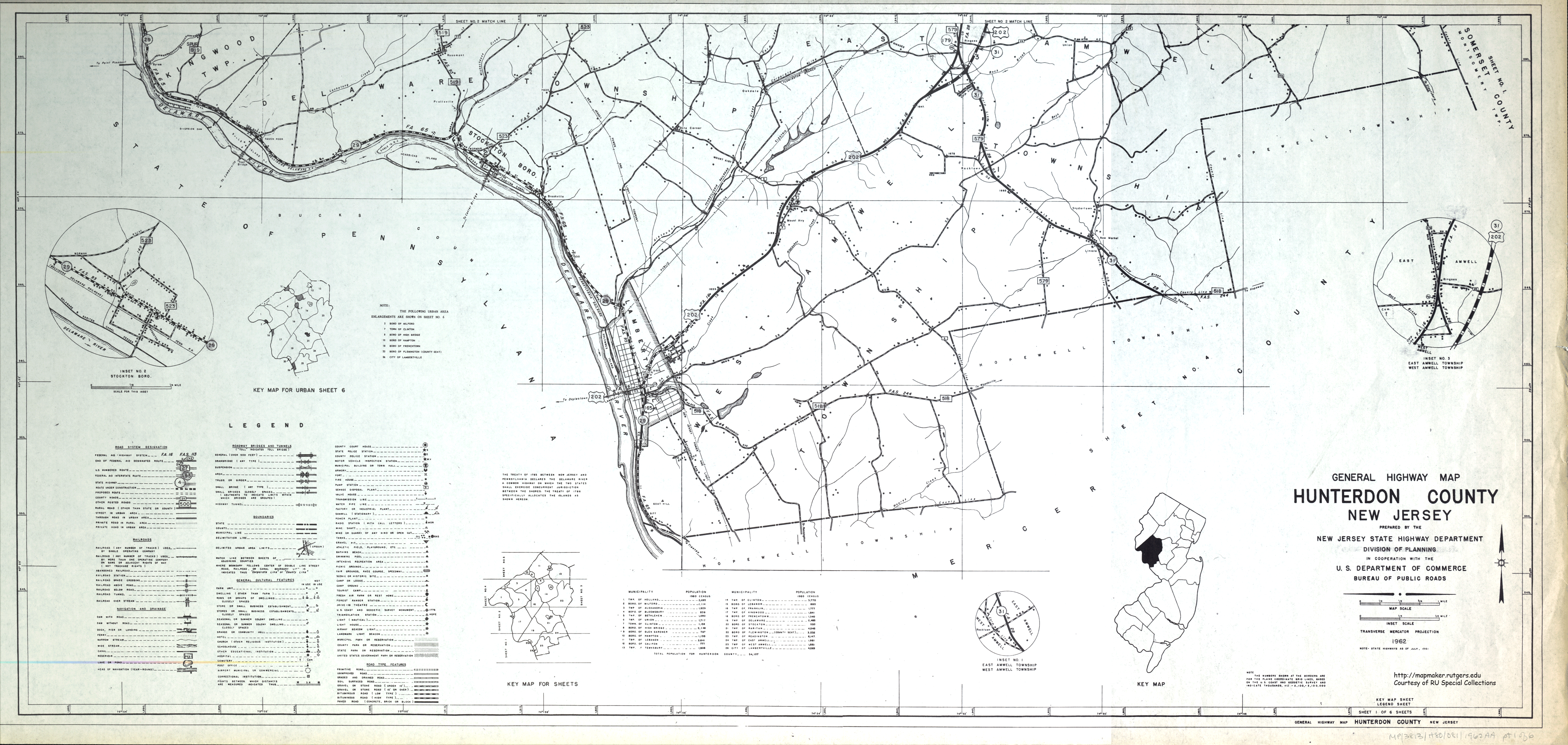
- ^ a b c "General Highway Map - Hunterdon County, New Jersey" (Map). Rutgers New Jersey Historical Maps. New Jersey State Highway Department, Division of Planning. 1962. Retrieved April 17, 2016.
- ^ "HUNTERDON COUNTY 751" (PDF). New Jersey Department of Transportation. June 2011. Retrieved October 12, 2015.
- ^ "Tentative Agenda Hunterdon County Board Of Chosen Freeholders - April 17, 2012". Hunterdon County Board of Chosen Freeholders. Retrieved September 5, 2016.
RESOLUTION - Approving "Through Street" Stop Signs to be installed at County Route 647 (Junction Road) from State Highway 31 to County Route 523.