List of Supai Group prominences in the Grand Canyon
This is a list of Supai Group prominences in the Grand Canyon. Landforms with up to 4 units of Supai Group, as prominences.
The rock unit sequences are as follows:
- Coconino Sandstone, (prominence, Permian unit)
- Hermit Shale, Permian
- Supai Group, (4 units, Pennsylvanian-Permian)
- 4 – Esplanade Sandstone, (Permian)
(Typically forms a resistant (& thick) cliff, thickening in Western Grand Canyon) - 3 – Wescogame Formation
- 2 – Manakacha Formation, (a resistant cliff-former; can make cliffs, or cliffs, with a platform on prominence)
- 1 – Watahomigi Formation
- 4 – Esplanade Sandstone, (Permian)
- (localized-Surprise Canyon Formation)
- Redwall Limestone-cliff-former (and platform-former)
Supai Group (4 units)
| Supai Group prominence | ||||
|---|---|---|---|---|
| Landform | Location | __Notes__ | Images | |
| Whites Butte | (near start of)- West Grand Canyon |
remainder debris of Supai Group Wata- homigi Formation |
 | |
Supai Group, Esplanade Sandstone (unit 4)
| Supai Group prominence Esplanade Sandstone (unit 4) | ||||
|---|---|---|---|---|
| Landform | Location | __Notes__ | Images | |
| Cardenas Butte Thor Temple |
East South Rim Central Grand Canyon |
butte on ridgeline [1] platform of Esplanade (with debris remainders?) |
.jpg)  | |
Supai Group, Manakacha Formation
| Manakacha Formation prominence | ||||
|---|---|---|---|---|
| Landform | Location | Notes | Images | |
| Dana Butte Scorpion Ridge The Howlands Butte |
Central-East Grand Canyon (beginning)- West Grand Canyon Central Grand Canyon[2] (start of)-West Grand Canyon |
  .jpg) 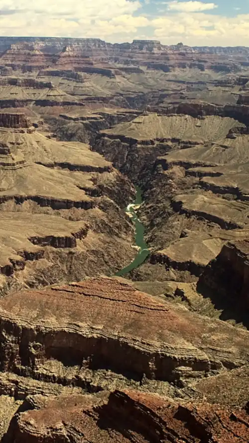 | ||
| Supai Group prominence | ||||
|---|---|---|---|---|
| Landform | Location | __Notes__ | Images | |
| Geikie Peak | (near start of)- West Grand Canyon |
remainder (pyramidal) slopes Wata- homigi Formation |
 | |
Coconino Sandstone cliffs on Supai (#4)-Esplanade Sandstone platform
The cliff-former (and a platform-former) Esplanade Sandstone supports cliffs of Coconino Sandstone, the cliffs being on slope-former Hermit Shale, then the Esplanade Sandstone platform.
Alphabetical listing
See also
References
- ^ Closeup View of Cardenas Peak, Summitpost (type name)
- ^ “Geologic Map of the Grand Canyon in the Vicinity of the South Rim Visitor Center”, Kamilli, R. J., and Richard, S. M., editors, 1998. Geologic Highway Map of Arizona: Tucson, Arizona Geological Society and Arizona Geological Survey, 1 sheet containing text and figures, scale 1:1,000,000.