Leppävesi
| Leppävesi | |
|---|---|
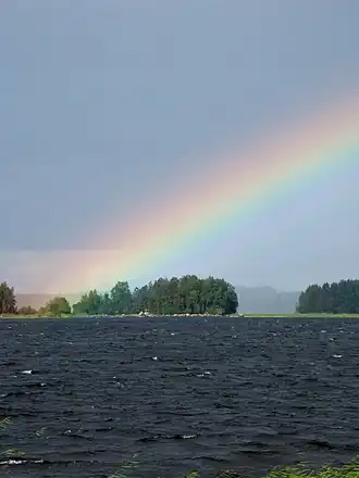 Rainbow on Leppävesi | |
 Leppävesi | |
| Coordinates | 62°15′N 25°57′E / 62.250°N 25.950°E |
| Lake type | lake |
| Primary outflows | Vaajavirta |
| Catchment area | Kymijoki |
| Basin countries | Finland |
| Max. length | 30 km (19 mi) |
| Max. width | 2 km (1.2 mi) |
| Surface area | 63.59 km2 (24.55 sq mi) |
| Average depth | 9.43 m (30.9 ft) |
| Max. depth | 45 m (148 ft) |
| Water volume | 0.6 km3 (490,000 acre⋅ft) |
| Shore length1 | 226.9 km (141.0 mi) |
| Surface elevation | 80.8 m (265 ft) |
| Frozen | December–April |
| Islands | Kuusisaari, Pyhäsaari, Oravasaari |
| Settlements | Jyväskylä |
| References | [1] |
| 1 Shore length is not a well-defined measure. | |
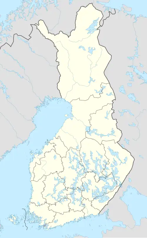
Leppävesi is the 65th (63.59 km2) largest lake of Finland in municipalities Jyväskylä, Laukaa and Toivakka in Central Finland.[1] It is quite a narrow but long lake in the south-north direction with a surface area of 63.59 km². It flows to Päijänne via Vaajavirta. It is part of Keitele Canal, a waterway connecting Lake Keitele and Päijänne. National road 9 and Pieksämäki–Jyväskylä railway cross the lake.
References
- ^ a b "Leppävesi (14.311.1.001)". Järvi-meriwiki (in Finnish). 2016-09-30. Retrieved 2024-09-08.
- Leppävesi in Kalapaikka.net (in Finnish)
See also
- List of lakes in Finland
 Media related to Leppävesi at Wikimedia Commons