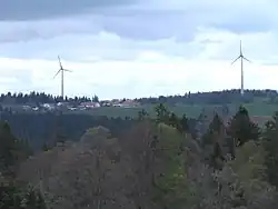
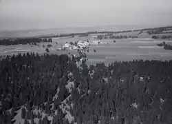
Le Peuchapatte
Le Peuchapatte | |
|---|---|
 Coat of arms | |
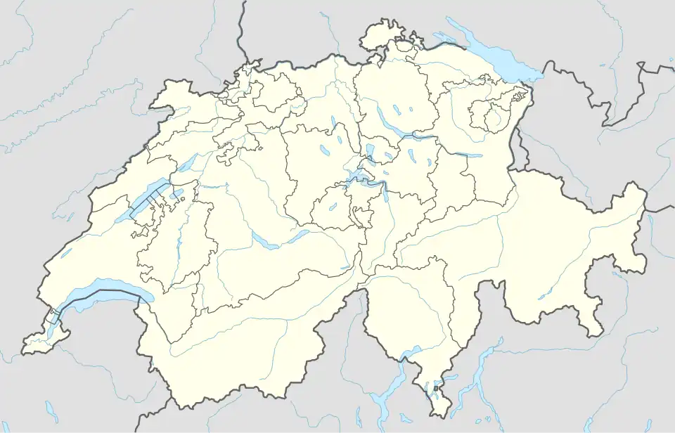
Location of Le Peuchapatte | |
 Le Peuchapatte 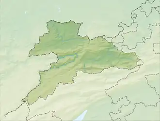 Le Peuchapatte | |
| Coordinates: 47°12′N 06°58′E / 47.200°N 6.967°E | |
| Country | Switzerland |
| Canton | Jura |
| District | Franches-Montagnes |
| Area | |
• Total | 2.57 km2 (0.99 sq mi) |
| Elevation | 1,131 m (3,711 ft) |
| Population (2003) | |
• Total | 40 |
| • Density | 16/km2 (40/sq mi) |
| Time zone | UTC+01:00 (Central European Time) |
| • Summer (DST) | UTC+02:00 (Central European Summer Time) |
| Postal code(s) | 2345 |
| SFOS number | 523 |
| ISO 3166 code | CH-JU |
| Surrounded by | Le Noirmont, Les Breuleux, Muriaux |
| Website | SFSO statistics |
Le Peuchapatte is a municipality in the district of Franches-Montagnes in the canton of Jura in Switzerland. On 1 January 2009, the formerly independent municipality of Le Peuchapatte merged into the municipality of Muriaux.[1]
References
- ^ Amtliches Gemeindeverzeichnis der Schweiz published by the Swiss Federal Statistical Office (in German) accessed 14 January 2010