Larche, Alpes-de-Haute-Provence
Larche | |
|---|---|
Part of Val-d'Oronaye | |
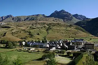 A general view of the village of Larche | |
Location of Larche | |
 Larche 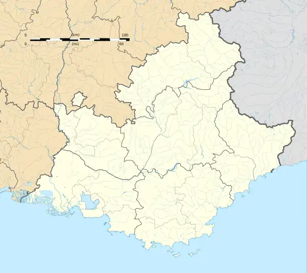 Larche | |
| Coordinates: 44°27′08″N 6°50′50″E / 44.4522°N 6.8472°E | |
| Country | France |
| Region | Provence-Alpes-Côte d'Azur |
| Department | Alpes-de-Haute-Provence |
| Arrondissement | Barcelonnette |
| Canton | Barcelonnette |
| Commune | Val-d'Oronaye |
Area 1 | 68.86 km2 (26.59 sq mi) |
| Population (2021)[1] | 50 |
| • Density | 0.73/km2 (1.9/sq mi) |
| Time zone | UTC+01:00 (CET) |
| • Summer (DST) | UTC+02:00 (CEST) |
| Postal code | 04530 |
| Elevation | 1,606–3,165 m (5,269–10,384 ft) (avg. 1,697 m or 5,568 ft) |
| 1 French Land Register data, which excludes lakes, ponds, glaciers > 1 km2 (0.386 sq mi or 247 acres) and river estuaries. | |
Larche (French pronunciation: [laʁʃ]; Vivaro-Alpine: L'Archa) is a former commune in the Alpes-de-Haute-Provence department in southeastern France. On 1 January 2016, it was merged into the new commune Val-d'Oronaye.[2]
Geography
It lies on the northwestern foot of the Maddalena Pass, called Col de Larche in French.
Population
|
|
See also
References
- ^ "Populations légales 2021" [Legal populations 2021] (PDF) (in French). INSEE. December 2023.
- ^ Arrêté préfectoral Archived 2016-09-22 at the Wayback Machine 14 December 2015 (in French)
Wikimedia Commons has media related to Larche, Alpes-de-Haute-Provence.