Langendorf, Saxony-Anhalt
Langendorf | |
|---|---|
 Coat of arms | |
Location of Langendorf | |
 Langendorf 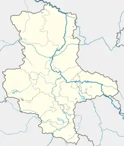 Langendorf | |
| Coordinates: 51°11′N 11°58′E / 51.183°N 11.967°E | |
| Country | Germany |
| State | Saxony-Anhalt |
| District | Burgenlandkreis |
| Town | Weißenfels |
| Area | |
• Total | 14.53 km2 (5.61 sq mi) |
| Elevation | 176 m (577 ft) |
| Population (2006-12-31) | |
• Total | 2,475 |
| • Density | 170/km2 (440/sq mi) |
| Time zone | UTC+01:00 (CET) |
| • Summer (DST) | UTC+02:00 (CEST) |
| Postal codes | 06667 |
| Dialling codes | 03443 |

Langendorf (German pronunciation: [ˈlaŋənˌdɔʁf]) is a village and a former municipality in the Burgenlandkreis district, in Saxony-Anhalt, Germany.
Since 1 January 2010, it is part of the town Weißenfels.[1]
References
- ^ "Gebietsänderungen vom 01. Januar bis 31. Dezember 2010" (in German). Federal Statistical Office of Germany. Retrieved 4 November 2024.