Lancaster, Virginia
Lancaster, Virginia | |
|---|---|
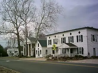 Central Lancaster, with the courthouse and offices visible | |
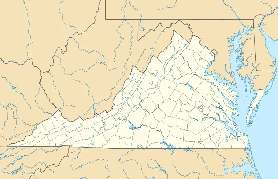 Lancaster Location in Virginia  Lancaster Location in the United States | |
| Coordinates: 37°46′11″N 76°27′59″W / 37.76972°N 76.46639°W | |
| Country | United States |
| State | Virginia |
| County | Lancaster |
| Area | |
• Total | 2.20 sq mi (5.71 km2) |
| • Land | 2.20 sq mi (5.69 km2) |
| • Water | 0.008 sq mi (0.02 km2) |
| Population (2020) | |
• Total | 105 |
| • Density | 47.8/sq mi (18.45/km2) |
| Time zone | UTC−5 (Eastern (EST)) |
| • Summer (DST) | UTC−4 (EDT) |
| ZIP Code | 22503 |
| FIPS code | 51-43704 |
| GNIS feature ID | 1498502[2] |
Lancaster is an unincorporated community and census-designated place (CDP) in Lancaster County, Virginia, United States.[2] It is the county seat, and is also known as Lancaster Courthouse or by an alternative spelling, Lancaster Court House. The community was first drawn as a CDP prior to the 2020 census and had a population of 105 at the said census.
Lancaster lies along Virginia State Route 3, 23 miles (37 km) southeast of Warsaw and 7 miles (11 km) northwest of Kilmarnock, the largest community in Lancaster County.
Belle Isle and the Lancaster Court House Historic District are listed on the National Register of Historic Places.[3]
References
- ^ "2020 U.S. Gazetteer Files: Virginia". United States Census Bureau. Retrieved February 12, 2021.
- ^ a b "Lancaster". Geographic Names Information System. United States Geological Survey, United States Department of the Interior.
- ^ "National Register Information System". National Register of Historic Places. National Park Service. March 13, 2009.
Municipalities and communities of Lancaster County, Virginia, United States | ||
|---|---|---|
| Towns | 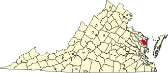 | |
| CDPs | ||
| Other communities | ||
| Footnotes | ‡This populated place also has portions in an adjacent county or counties | |