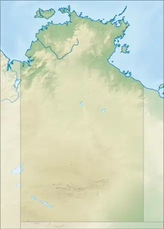
Lake Lewis (Northern Territory)
| Lake Lewis | |
|---|---|
_2022-06-22_Sentinel-2_L2A_True_color.jpg) Sentinel-2 image (2022) | |
 Lake Lewis | |
| Location | Anmatjere, Northern Territory, Australia |
| Coordinates | 22°53′S 132°26′E / 22.883°S 132.433°E |
| Type | Salt lake |
| Etymology | John W. Lewis |
| Basin countries | Australia |
Lake Lewis is an ephemeral salt lake in the Northern Territory of Australia located in the locality of Anmatjere[1] about 170 kilometres (110 mi) north-west of the town of Alice Springs.[2]
The lake is fed by several nearby creeks; during periods of heavy rain, the lake can grow beyond its usual size and can last as long as six months.[2] The lake system encompasses a number of different terrains, including large areas of saltpans and claypans. Lake Lewis is bounded in the north by Stuart Bluff Range.[2]
The lake was named after John W Lewis, who accompanied P.E. Warburton's expedition in 1873 from the Northern Territory to the Oakover River in Western Australia.[1]
Lake Lewis is also an important site for birds with Black-winged Stilts and Grey Teals, both uncommon species in the Northern Territory, being known to visit the lake.[2]
References
- ^ a b "Place Names Register Extract for "Lake Lewis"". NT Place Names Register. Northern Territory Government. Retrieved 5 October 2019.
- ^ a b c d "Lake Lewis and surrounds - Site of Conservation Significance" (PDF). territorystories.nt.gov.au. Northern Territory Government. pp. 176–179. Retrieved 5 January 2019 – via Northern Territory Library.