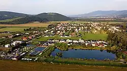
Lackovce
Lackovce | |
|---|---|
 | |
 Flag | |
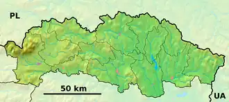 Lackovce Location of Lackovce in the Prešov Region 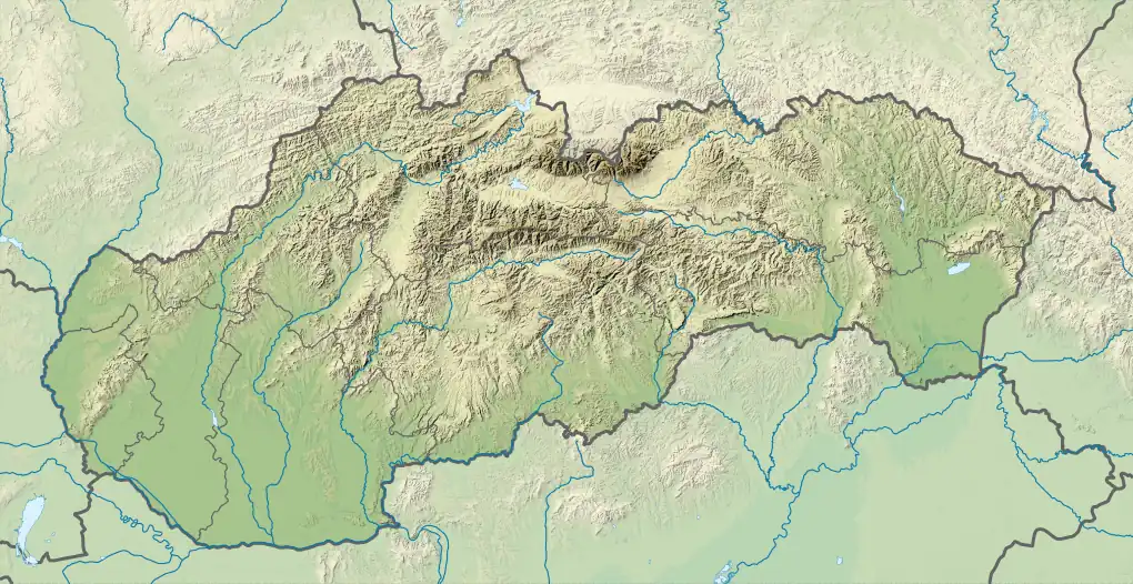 Lackovce Location of Lackovce in Slovakia | |
| Coordinates: 48°56′N 21°58′E / 48.94°N 21.96°E | |
| Country | |
| Region | |
| District | Humenné District |
| First mentioned | 1451 |
| Area | |
• Total | 3.60 km2 (1.39 sq mi) |
| Elevation | 157 m (515 ft) |
| Population (2021)[3] | |
• Total | 885 |
| Time zone | UTC+1 (CET) |
| • Summer (DST) | UTC+2 (CEST) |
| Postal code | 660 1[2] |
| Area code | +421 57[2] |
| Car plate | HE |
| Website | www |
Lackovce is a village and municipality in Slovakia.
Location
Lackovce is situated at the confluence of the Laborec and a side stream.
History
The first mention of the village was in 1451. Until the Treaty of Trianon the community belonged to the Kingdom of Hungary, to Zemplén, a district of Humenné, later to Czechoslovakia, during World War II and from 1993 to Slovakia.
References
- ^ "Hustota obyvateľstva - obce [om7014rr_ukaz: Rozloha (Štvorcový meter)]". www.statistics.sk (in Slovak). Statistical Office of the Slovak Republic. 31 March 2022. Retrieved 31 March 2022.
- ^ a b c "Základná charakteristika". www.statistics.sk (in Slovak). Statistical Office of the Slovak Republic. 17 April 2015. Retrieved 31 March 2022.
- ^ "Počet obyvateľov podľa pohlavia - obce (ročne)". www.statistics.sk (in Slovak). Statistical Office of the Slovak Republic. 31 March 2022. Retrieved 31 March 2022.