Lachanas
Lachanas
Λαχανάς | |
|---|---|
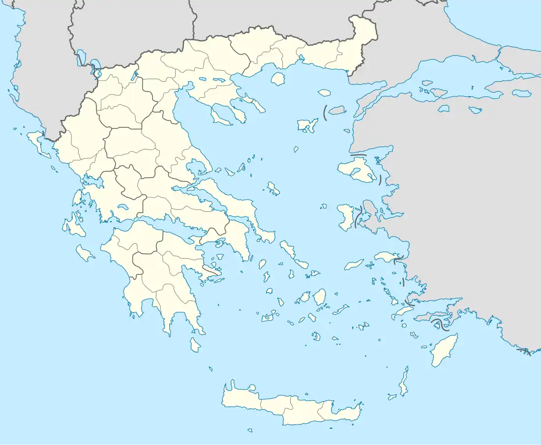 Lachanas Location within the regional unit 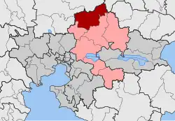 | |
| Coordinates: 40°58′N 23°12′E / 40.967°N 23.200°E | |
| Country | Greece |
| Administrative region | Central Macedonia |
| Regional unit | Thessaloniki |
| Municipality | Lagkadas |
| Area | |
| • Municipal unit | 210.09 km2 (81.12 sq mi) |
| • Community | 47.602 km2 (18.379 sq mi) |
| Elevation | 584 m (1,916 ft) |
| Population (2021)[1] | |
| • Municipal unit | 1,943 |
| • Municipal unit density | 9.2/km2 (24/sq mi) |
| • Community | 462 |
| • Community density | 9.7/km2 (25/sq mi) |
| Time zone | UTC+2 (EET) |
| • Summer (DST) | UTC+3 (EEST) |
| Postal code | 570 17 |
| Area code(s) | 23940 |
Lachanas (Greek: Λαχανάς) is a village and a former municipality in the Thessaloniki regional unit, Greece. Since the 2011 local government reform it is part of the municipality Lagkadas, of which it is a municipal unit.[2] The seat of the municipality was in Xylopoli. The municipal unit Lachanas has an area of 210.090 km2, and the community Lachanas has an area of 47.602 km2.[3]
Population
The population of the municipal unit was 1,943 inhabitants in 2021 and that of the community was 462 inhabitants.[1]
References
- ^ a b "Αποτελέσματα Απογραφής Πληθυσμού - Κατοικιών 2021, Μόνιμος Πληθυσμός κατά οικισμό" [Results of the 2021 Population - Housing Census, Permanent population by settlement] (in Greek). Hellenic Statistical Authority. 29 March 2024.
- ^ "ΦΕΚ B 1292/2010, Kallikratis reform municipalities" (in Greek). Government Gazette.
- ^ "Population & housing census 2001 (incl. area and average elevation)" (PDF) (in Greek). National Statistical Service of Greece. Archived from the original (PDF) on 2015-09-21.