Lüttchendorf
Lüttchendorf | |
|---|---|
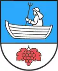 Coat of arms | |
Location of Lüttchendorf | |
 Lüttchendorf 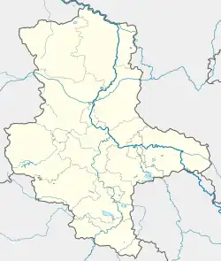 Lüttchendorf | |
| Coordinates: 51°30′N 11°38′E / 51.500°N 11.633°E | |
| Country | Germany |
| State | Saxony-Anhalt |
| District | Mansfeld-Südharz |
| Municipality | Seegebiet Mansfelder Land |
| Area | |
• Total | 7.84 km2 (3.03 sq mi) |
| Elevation | 100 m (300 ft) |
| Population (2006-12-31) | |
• Total | 639 |
| • Density | 82/km2 (210/sq mi) |
| Time zone | UTC+01:00 (CET) |
| • Summer (DST) | UTC+02:00 (CEST) |
| Postal codes | 06317 |
| Dialling codes | 03475 |
Lüttchendorf is a village and a former municipality in the Mansfeld-Südharz district, Saxony-Anhalt, Germany.
Since 1 January 2010, it is part of the municipality Seegebiet Mansfelder Land.[1]
History
The first documented mention of Lüttchendorf was as Luzilendorpf in the Hersfeld Tithe Register from the 880's.
%252C_the_village_church.jpg)
References
- ^ "Gebietsänderungen vom 01. Januar bis 31. Dezember 2010" (in German). Federal Statistical Office of Germany. Retrieved 4 November 2024.