Kurşunluk
Kurşunluk
Bölme | |
|---|---|
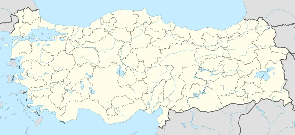 Kurşunluk Location in Turkey 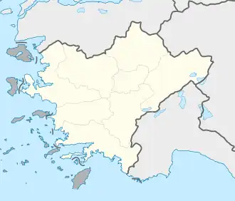 Kurşunluk Kurşunluk (Turkey Aegean) | |
| Coordinates: 38°37′N 29°22′E / 38.617°N 29.367°E | |
| Country | Turkey |
| Province | Uşak |
| District | Uşak |
| Municipality | Uşak |
| Elevation | 900 m (3,000 ft) |
| Population (2022) | 2,455 |
| Time zone | UTC+3 (TRT) |
| Postal code | 64420 |
| Area code | 0276 |
Kurşunluk (formerly: Bölme)[1] is a neighbourhood of the city Uşak, Uşak Province, Turkey.[2] Its population is 2,455 (2022).[3] It is just 5 kilometres (3.1 mi) south west of Uşak. The settlement was founded about 200 years ago and it was declared a seat of township in 1999. The main economic activity is dairying. Cereal agriculture is another activity.
References
- ^ Kurşunluk, nisanyanmap.com
- ^ Mahalle Archived 2015-07-06 at the Wayback Machine, Turkey Civil Administration Departments Inventory. Retrieved 1 March 2023.
- ^ "Address-based population registration system (ADNKS) results dated 31 December 2022, Favorite Reports" (XLS). TÜİK. Retrieved 13 March 2023.