Kuntur Sinqa (Paruro)
| Kuntur Sinqa | |
|---|---|
 Kuntur Sinqa Peru | |
| Highest point | |
| Elevation | 4,256.8 m (13,966 ft)[1] |
| Coordinates | 13°59′30″S 71°45′45″W / 13.99167°S 71.76250°W |
| Naming | |
| Language of name | Quechua |
| Geography | |
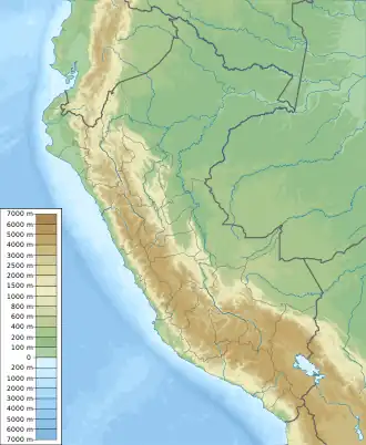
| Location | Peru, Cusco Region, Paruro Province |
| Parent range | Andes |
Kuntur Sinqa (Quechua kuntur condor, sinqa, nose,[2] "condor nose", also spelled Condorsenja) is a mountain in the Cusco Region in Peru, about 4,256.8 metres (13,966 ft) high. It lies in the Paruro Province, Pillpinto District. Kuntur Sinqa is situated west of the Apurímac River.[3]
References
- ^ "South America Maps". Joint Operations Graphic. Retrieved June 25, 2014.
- ^ Teofilo Laime Ajacopa (2007). Diccionario Bilingüe: Iskay simipi yuyayk’anch: Quechua – Castellano / Castellano – Quechua (PDF). La Paz, Bolivia: futatraw.ourproject.org.
- ^ escale.minedu.gob.pe - UGEL map of the Paruro Province (Cusco Region)