Kola, Manitoba
Kola | |
|---|---|
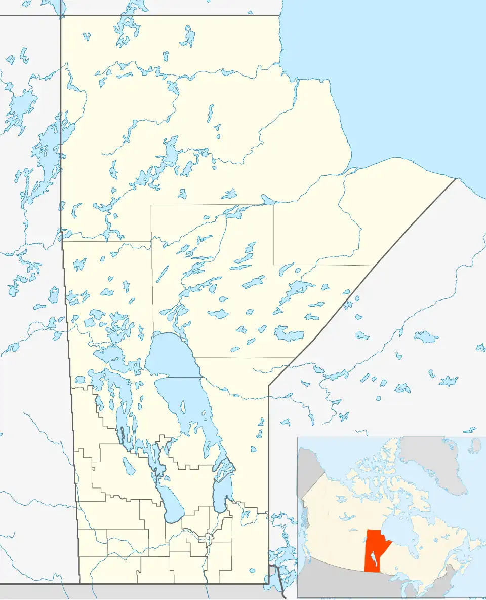 Kola Location of Kola in Manitoba | |
| Coordinates: 49°50′36″N 101°22′14″W / 49.84333°N 101.37056°W | |
| Country | |
| Province | |
| Region | Westman Region |
| Census Division | No. 6 |
| Government | |
| • Governing Body | Rural Municipality of Wallace Council |
| • MP | Larry Maguire |
| • MLA | Greg Nesbitt |
| Time zone | UTC−6 (CST) |
| • Summer (DST) | UTC−5 (CDT) |
| Postal Code | R0M 1B0 |
| Area code | 204 |
| NTS Map | 062F14 |
| GNBC Code | GANUH |
Kola is an unincorporated community in southwestern Manitoba, Canada. It is located approximately 31 kilometres (19 mi) west of Virden and approximately 3 kilometres (1.9 mi) east of the Saskatchewan boundary[2] in the Rural Municipality of Wallace.
The community is accessible by vehicle via PR 257 and PR 542.
See also
References
- ^ "Population and dwelling counts, for Canada and census subdivisions (municipalities), 2006 and 2001 censuses - 100% data". Statistics Canada, 2006 Census of Population. November 5, 2008. Retrieved January 30, 2009.
- ^ http://www.nrcan.gc.ca/earth-sciences/search/calculate_distance_3_e.php?unique_id_str_1=GANUH&unique_id_str_2=GBCSD