Kjøpmannskjær
Kjøpmannskjær | |
|---|---|
Village | |
.jpg) View of the village | |
 Kjøpmannskjær Location of the village 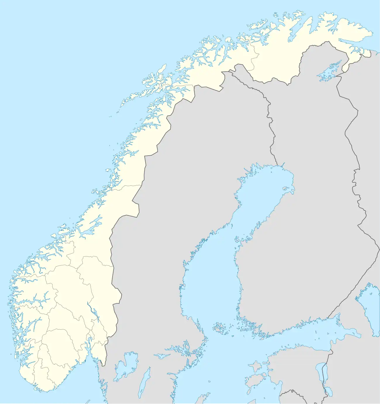 Kjøpmannskjær Kjøpmannskjær (Norway) | |
| Coordinates: 59°10′22″N 10°23′00″E / 59.17287°N 10.3833°E | |
| Country | Norway |
| Region | Eastern Norway |
| County | Vestfold |
| Municipality | Færder Municipality |
| Area | |
• Total | 0.46 km2 (0.18 sq mi) |
| Elevation | 2 m (7 ft) |
| Population (2022)[1] | |
• Total | 440 |
| • Density | 953/km2 (2,470/sq mi) |
| Time zone | UTC+01:00 (CET) |
| • Summer (DST) | UTC+02:00 (CEST) |
| Post Code | 3143 Kjøpmannskjær |
Kjøpmannskjær is a village in Færder Municipality in Vestfold county, Norway. The village is located on the southern shore of the island of Nøtterøy, about 1 kilometre (0.62 mi) east of the village of Tenvik, about 1 kilometre (0.62 mi) north of the village of Sundene (on Tjøme island), and about 3.5 kilometres (2.2 mi) south of the village of Skjerve. The village of Strengsdal lies about 2 kilometres (1.2 mi) to the east along the southern shore of the island.
The 0.46-square-kilometre (110-acre) village has a population (2023) of 440 and a population density of 953 inhabitants per square kilometre (2,470/sq mi).[1]
References
- ^ a b c Statistisk sentralbyrå (1 January 2023). "Urban settlements. Population and area, by municipality".
- ^ "Kjøpmannskjær, Færder". yr.no. Retrieved 20 December 2023.