Kinkungwa Airport
Kinkungwa Airport | |||||||||||
|---|---|---|---|---|---|---|---|---|---|---|---|
| Summary | |||||||||||
| Airport type | Public | ||||||||||
| Serves | Kalima | ||||||||||
| Elevation AMSL | 1,812 ft / 552 m | ||||||||||
| Coordinates | 2°34′35″S 26°44′00″E / 2.57639°S 26.73333°E | ||||||||||
| Map | |||||||||||
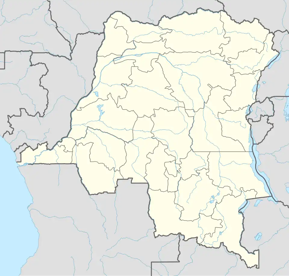 KLY Location of the airport in Democratic Republic of the Congo | |||||||||||
| Runways | |||||||||||
| |||||||||||
Kinkungwa Airport (IATA: KLY, ICAO: FZOD) is an airport serving the town of Kalima in Maniema Province, Democratic Republic of the Congo.
The Kalima non-directional beacon (Ident: KAL) is located 2 nautical miles (3.7 km) nautical miles (14.3 km) east-southeast of the airport.[3]
See also
 Democratic Republic of the Congo portal
 Aviation portal
- Transport in the Democratic Republic of the Congo
- List of airports in the Democratic Republic of the Congo
References
- ^ Google Maps - Kinkungwa
- ^ Airport information for Kinkungwa Airport at Great Circle Mapper.
- ^ "Kalima NDB (KAL) @ OurAirports". ourairports.com. Retrieved 2018-08-20.