Kimbe, Tanga
Kimbe
Kata ya Kimbe (Swahili) | |
|---|---|
| Kata ya Kimbe, Wilaya ya Kilindi | |
 Kimbe | |
| Coordinates: 5°47′47.4″S 37°31′17.4″E / 5.796500°S 37.521500°E | |
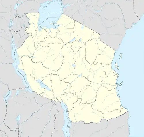
| Country | |
| Region | Tanga Region |
| District | Kilindi District |
| Area | |
• Total | 464.3 km2 (179.3 sq mi) |
| Elevation | 626 m (2,054 ft) |
| Population (2012) | |
• Total | 14,249 |
| • Density | 31/km2 (79/sq mi) |
| Ethnic groups | |
| • Settler | Swahili |
| • Ancestral | Nguu |
| Tanzanian Postal Code | 21915 |
Kimbe is an administrative ward in Kilindi District of Tanga Region in Tanzania. The ward covers an area of 464 km2 (179 sq mi),[1] and has an average elevation of 626 m (2,054 ft).[2] According to the 2012 census, the ward has a total population of 14,249.[3]
References
- ^ "Tanzania: Northern Zone Tanzania (Districts and Wards) – Population Statistics, Charts and Map".
- ^ "Kimbe Elevation".
- ^ "2012 Population and Housing Census General Report" (PDF). Government of Tanzania. Archived from the original (PDF) on 2022-03-26. Retrieved 2022-06-05.