Kiitämä
| Kiitämä | |
|---|---|
 Kiitämä | |
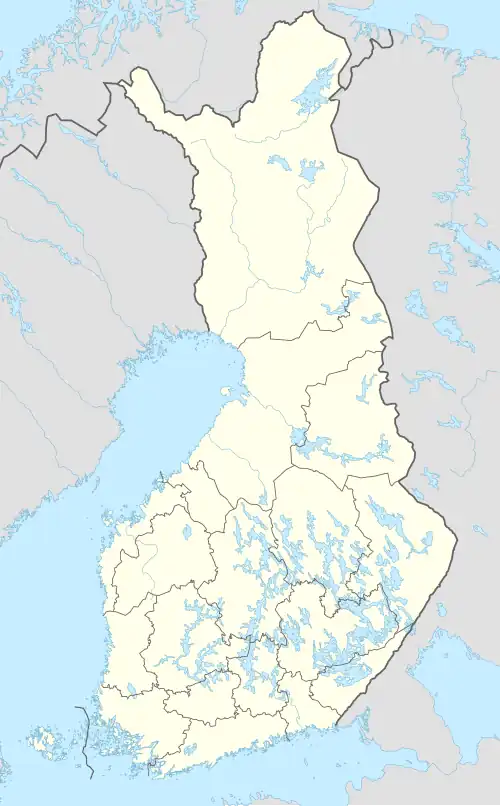
| Location | Kuusamo, North Ostrobothnia, Finland |
| Coordinates | 65°59.5′N 29°43′E / 65.9917°N 29.717°E |
| Catchment area | Koutajoki |
| Basin countries | Finland |
| Surface area | 18.895 km2 (7.295 sq mi) |
| Average depth | 6.69 m (21.9 ft) |
| Max. depth | 21.71 m (71.2 ft) |
| Water volume | 0.126 km3 (102,000 acre⋅ft) |
| Shore length1 | 58.42 km (36.30 mi) |
| Surface elevation | 252.8 m (829 ft) |
| Frozen | December–May |
| Islands | Sonnisaari |
| References | [1] |
| 1 Shore length is not a well-defined measure. | |
Kiitämä is a large lake in the Koutajoki (73) main catchment area. It is located in the Pohjois-Pohjanmaan maakunta region. It falls under the environmental responsibility area of the Pohjois-Pohjanmaan ELY Centre.[2]
See also
References
- ^ Kiitämä in the Jarviwiki Web Service. Retrieved 2014-03-04. (in English)
- ^ "Kiitämä (73.044.1.001)". Järviwiki. Retrieved 2017-11-12.