Kfar Tebnit
Kfar Tebnit
كفرتبنيت | |
|---|---|
Municipality | |
| Country | |
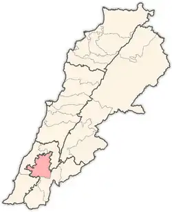
| Governorate | South Governorate |
| District | Tyre |
| Time zone | GMT +3 |
كفرتبنيت | |
 Shown within Lebanon | |
| Alternative name | Kfar Tebnit |
|---|---|
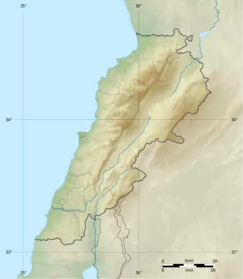
| Location | 4 kilometres (2.5 mi) south southeast of Nabatieh, 37 kilometres (23 mi) southeast of Sidon, Lebanon |
| Coordinates | 33°21′11″N 35°30′48″E / 33.35306°N 35.51333°E |
| Grid position | 128/157 L |
| History | |
| Periods | Heavy Neolithic, Trihedral Neolithic, Neolithic |
| Cultures | Qaraoun culture |
| Site notes | |
| Excavation dates | 1926 |
| Archaeologists | E. Passemard |
| Public access | Unknown |
Kfar Tebnit or Kfartebnit (Arabic: كفرتبنيت) is a municipality located approximately 4 kilometres (2.5 mi) south southeast of Nabatieh, 37 kilometres (23 mi) southeast of Sidon in Lebanon.
Etymology
Kfar Tebnit takes its name from Tabnit, a Phoenician ruler in the area ca. 280 BC known as the "king of two Sidons". The sarcophagus of his son Eshmun-'azar was found to bear a long inscription aimed to prevent looting with assurances that the tomb contained no treasure.[1]
Archaeology
A Heavy Neolithic archaeological site of the Qaraoun culture was discovered here in 1926 by E. Passemard . Heavy Neolithic materials were found alongside one Trihedral Neolithic along with more regular Neolithic pieces. The tools were in sharp condition, made of fresh chert or grey-green flint and are stored in the National Museum of Beirut.[2]
History
In 1875 Victor Guérin visited, and found here 130 Metualis.[3]
The Ottoman mosque of the village was totally destroyed as a result of the Israeli attacks in October 2024 in southern Lebanon.[4][5]
Demographics
In 2014 Muslims made up 99.86% of registered voters in Kfar Tebnit. 98.02% of the voters were Shiite Muslims.[6]
References
- ^ Hitti, 2004, p. 125
- ^ Copeland and Wescombe, 1966, pp. 35-36
- ^ Guérin, 1880, p. 521
- ^ "'Apocalyptic': Israel destroys mosque, bombs market in southern Lebanon". aljazeera.
- ^ Destruction of Cultural Heritage in Lebanon due to the Ongoing War (PDF) (Report). Heritage Education Program. October 2024. p. 24.
- ^ https://lub-anan.com/المحافظات/النبطية/النبطية/كفرتبنيت/المذاهب/
Bibliography
- Copeland, L.; P. Wescombe (1966). Inventory of Stone-Age Sites in Lebanon: North, South and East-Central Lebanon, pp. 35-36. Impr. Catholique. Retrieved 29 August 2011.
- Guérin, V. (1880). Description Géographique Historique et Archéologique de la Palestine (in French). Vol. 3: Galilee, pt. 2. Paris: L'Imprimerie Nationale.
- Hitti, P.K. (30 January 2004). History of Syria, Including Lebanon and Palestine. Gorgias Press LLC. pp. 125–. ISBN 978-1-59333-119-1. Retrieved 4 January 2012.
External links
- Kfar Tibnit, Localiban
Capital: Nabatieh | ||
| Towns and villages |
|  |
| Notable landmarks | ||