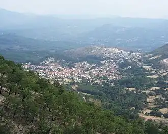
Kefalovryso, Ioannina
Kefalovryso
Κεφαλόβρυσο Migidei | |
|---|---|
 | |
 Kefalovryso | |
| Coordinates: 40°0.9′N 20°33.6′E / 40.0150°N 20.5600°E | |
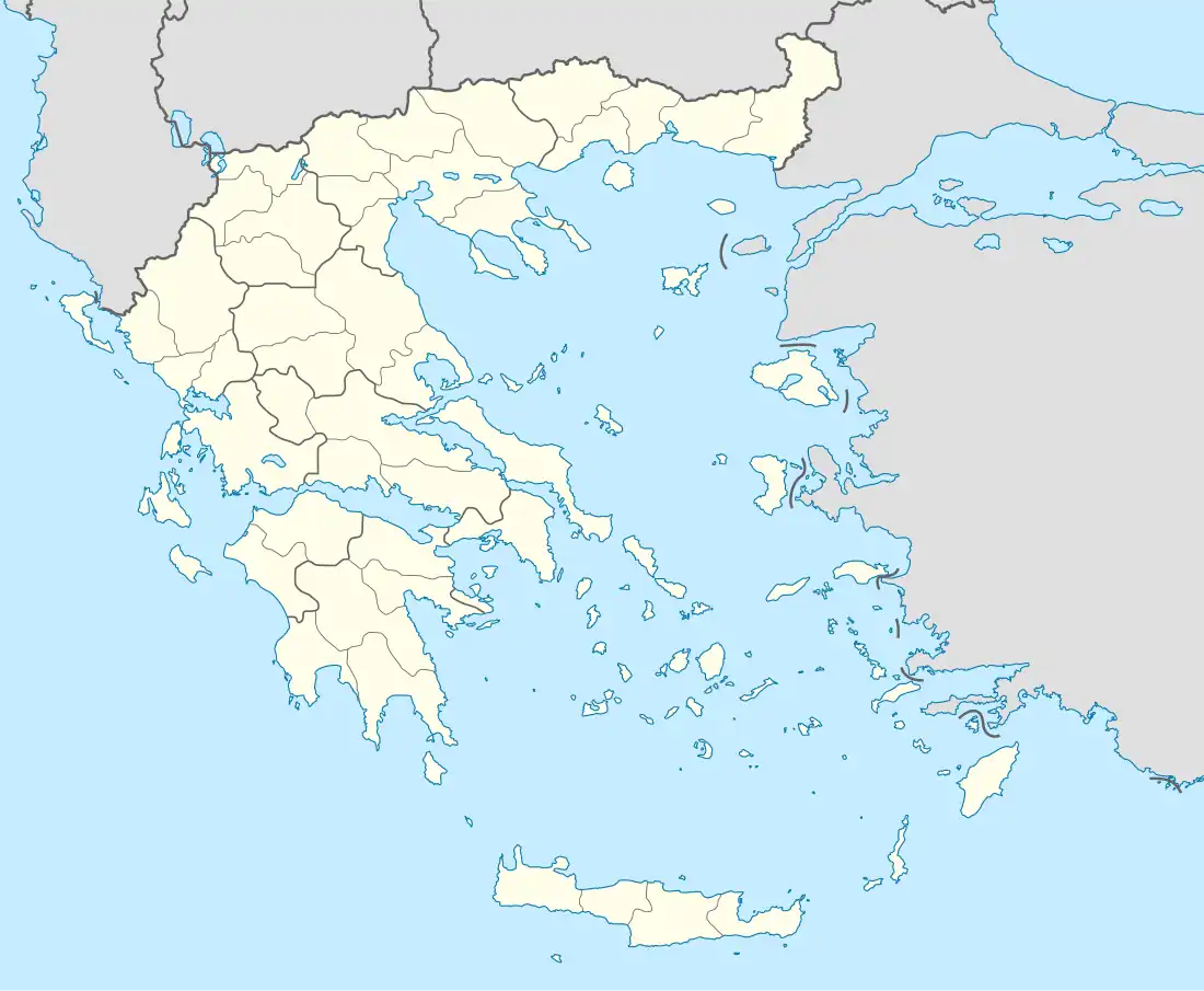
| Country | Greece |
| Administrative region | Epirus |
| Regional unit | Ioannina |
| Municipality | Pogoni |
| Municipal unit | Ano Pogoni |
| Area | |
• Community | 15.831 km2 (6.112 sq mi) |
| Elevation | 650 m (2,130 ft) |
| Population (2021)[1] | |
• Community | 564 |
| • Density | 36/km2 (92/sq mi) |
| Time zone | UTC+2 (EET) |
| • Summer (DST) | UTC+3 (EEST) |
| Postal code | 440 06 |
| Area code(s) | +30-2657 |
| Vehicle registration | IN |
Kefalovryso (Greek: Κεφαλόβρυσο, Aromanian: Migidei, Migidea) is a mountain village and a community of the Pogoni municipality. Before the 2011 local government reform it was a part of the municipality of Ano Pogoni, of which it was a municipal district and the seat.[2] The community of Kefalovryso covers an area of 15.831 km2.[3]
History
Kefalovryso is a Vlach-speaking village.[4] Its name is Vlach is Migidei or Migidea and it was previously known in Greek as Metzitie (Greek: Μετζιτιέ) or Metzities (Greek: Μετζητιές).
The Greek newspaper Pigi Kefalovrysou mentioned in an article that in 1840 this village was founded by a lone tselingas (Greek for goatherd) named Nastas (Greek: ο τσέλιγκας Νάστας). Kefalovryso passed from the Ottoman Empire to Greece in 1913, during the Balkan Wars.
In the 10th of July a massacre happened in the village. 22 men were put in two houses, with most of them being soldiers from the Greco-German war. Only one of them survived and the rest were burnt alive.
Geography
It is situated at the foot of mount Nemertsika, near the Albanian border. It is 3 km west of Vasiliko, 12 km northeast of Delvinaki, 16 km west of Konitsa, 36 km east of Gjirokastër (Albania) and 46 km northwest of Ioannina.
Facilities
In Kefalovryso, there is a primary school, a lyceum, a minor soccer team, a gymnasium, a church, a small post-office and a square in the centre with the town hall of Ano Pogoni. The factory that produces most of the Greek euro coins is located in Kefalovryso.[5][6]
Historical population
| Year | Pop. | ±% |
|---|---|---|
| 1981 | 1,062 | — |
| 1991 | 1,122 | +5.6% |
| 2001[3] | 861 | −23.3% |
| 2011[7] | 838 | −2.7% |
| 2021[1] | 564 | −32.7% |
See also
References
- ^ a b "Αποτελέσματα Απογραφής Πληθυσμού - Κατοικιών 2021, Μόνιμος Πληθυσμός κατά οικισμό" [Results of the 2021 Population - Housing Census, Permanent population by settlement] (in Greek). Hellenic Statistical Authority. 29 March 2024.
- ^ "ΦΕΚ B 1292/2010, Kallikratis reform municipalities" (in Greek). Government Gazette.
- ^ a b "Population & housing census 2001 (incl. area and average elevation)" (PDF) (in Greek). National Statistical Service of Greece. Archived (PDF) from the original on 2015-09-21.
- ^ https://farsharotu.org/touring-the-vlach-villages-of-greece/
- ^ "Μεταλλουργική Βιομηχανία Ηπείρου home" (in Greek). Μεταλλουργική Βιομηχανία Ηπείρου Α.Ε. Archived from the original on 20 December 2014. Retrieved 4 May 2014.
- ^ Κεφαλόβρυσο (in Greek). diakopes.gr. Archived from the original on 1 September 2014. Retrieved 4 May 2014.
- ^ "Απογραφή Πληθυσμού - Κατοικιών 2011. ΜΟΝΙΜΟΣ Πληθυσμός" (in Greek). Hellenic Statistical Authority.