Ked, Rajasthan
Ked | |
|---|---|
Village | |
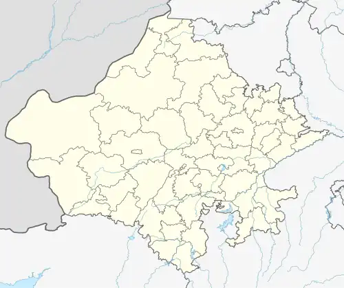 Ked Location in Rajasthan, India  Ked Ked (India) | |
| Coordinates: 27°43′44″N 75°28′18″E / 27.72885°N 75.47156°E | |
| Country | |
| State | Rajasthan |
| District | Jhunjhunun |
| Tehsil | Udaipurwati |
| Post Office | Titanwar |
| Languages | |
| • Official | Hindi, Marwari, Rajasthani |
| Time zone | UTC+5:30 (IST) |
| PIN | 333 012 |
Ked, is a village located in Jhunjhunu district Rajasthan situated on the banks of Katli river.[1] It was an independent State and Joint State of kekri Ruled By Pala (Gaur) Rajputs and this region is also known as Gaurati the land of Gaurs.[2]
References
- ^ "Basic Population Figures of India, States, Districts, Sub-District and Village, 2011". censusindia.gov.in. Ministry of Home Affairs. 2011. Archived from the original on 11 July 2022. Retrieved 10 May 2025.
- ^ Hooja, Rima (2006). A History of Rajasthan. p. 414. ISBN 9788129108906.