Kathleen, Georgia
Kathleen, Georgia | |
|---|---|
 | |
 Kathleen  Kathleen | |
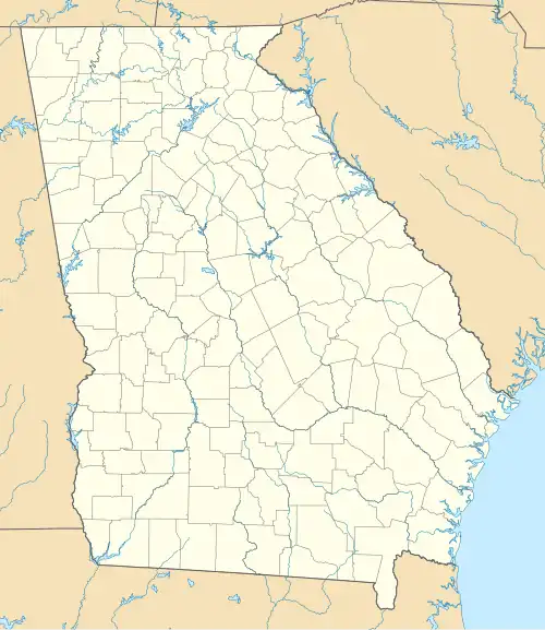
| Coordinates: 32°29′45″N 83°36′27″W / 32.49583°N 83.60750°W | |
| Country | United States |
| State | Georgia |
| County | Houston |
| Elevation | 330 ft (100 m) |
| Time zone | UTC-5 (Eastern) |
| • Summer (DST) | UTC-4 (Eastern) |
| ZIP code | 31047[1] |
| Area code | 478 |
Kathleen is an unincorporated community in Houston County, Georgia, United States. It is part of the Warner Robins, Georgia Metropolitan Statistical Area. It is home to roughly 11,500 people.
Education
Houston County Board of Education (Georgia) operates public schools.
Elementary school
- Matthew C Arthur Elementary School
Also served by:
- Bonaire Elementary School
- Kings Chapel Elementary School
- Langston Road Elementary School
- David A Purdue Primary/Elementary
- Hilltop Elementary School
Middle school
- Mossy Creek Middle School
- Veterans Middle School (TBA)
Also served by:
- Bonaire Middle School
- Perry Middle School
High school
Also served by:
See also
- Log Dogtrot House, near Kathleen, a National Register of Historic Places-listed site
References
- ^ "Kathleen ZIP Code". zipdatamaps.com. 2022. Retrieved November 11, 2022.
| Principal cities |  | |
|---|---|---|
| Municipalities | ||
| Other communities | ||
| Counties | ||
| CSA components | ||
Municipalities and communities of Houston County, Georgia, United States | ||
|---|---|---|
| Cities |  | |
| CDP | ||
| Unincorporated communities | ||
| Footnotes | ‡This populated place also has portions in an adjacent county or counties | |