Katharinenberg
Katharinenberg | |
|---|---|
Location of Katharinenberg | |
 Katharinenberg 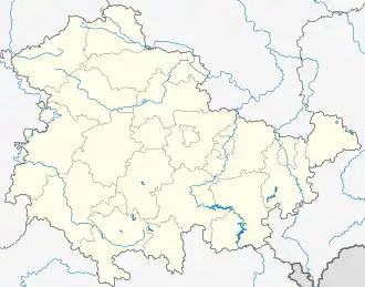 Katharinenberg | |
| Coordinates: 51°10′57″N 10°15′44″E / 51.18250°N 10.26222°E | |
| Country | Germany |
| State | Thuringia |
| District | Unstrut-Hainich-Kreis |
| Municipality | Südeichsfeld |
| Area | |
• Total | 34.78 km2 (13.43 sq mi) |
| Elevation | 421 m (1,381 ft) |
| Population (2010-12-31) | |
• Total | 2,992[1] |
| Time zone | UTC+01:00 (CET) |
| • Summer (DST) | UTC+02:00 (CEST) |
| Postal codes | 99988 |
| Dialling codes | 036024 |
| Website | www.katharinenberg.de |
Katharinenberg (German pronunciation: [kataˈʁiːnənˌbɛʁk]) is a village and a former municipality in the Unstrut-Hainich-Kreis district of Thuringia, Germany. Since 1 December 2011, it is part of the municipality Südeichsfeld.[2]
References
- ^ "Thüringer Landesamt für Statistik" (in German). Retrieved 28 February 2024.
- ^ "Gebietsänderungen vom 01. Januar bis 31. Dezember 2011". Statistisches Bundesamt (in German). 23 November 2023. Retrieved 28 February 2024.